Category Archives: Places

Greenbelt = Sports

Boise, Idaho

Sophie and I took a bike ride yesterday down the Greenbelt from our RV park to Ann Morrison Park to watch Melissa play soccer.

The Greenbelt runs alongside the Boise River.

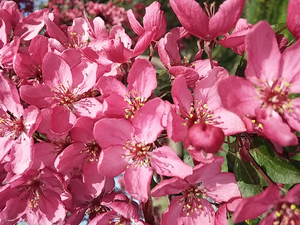
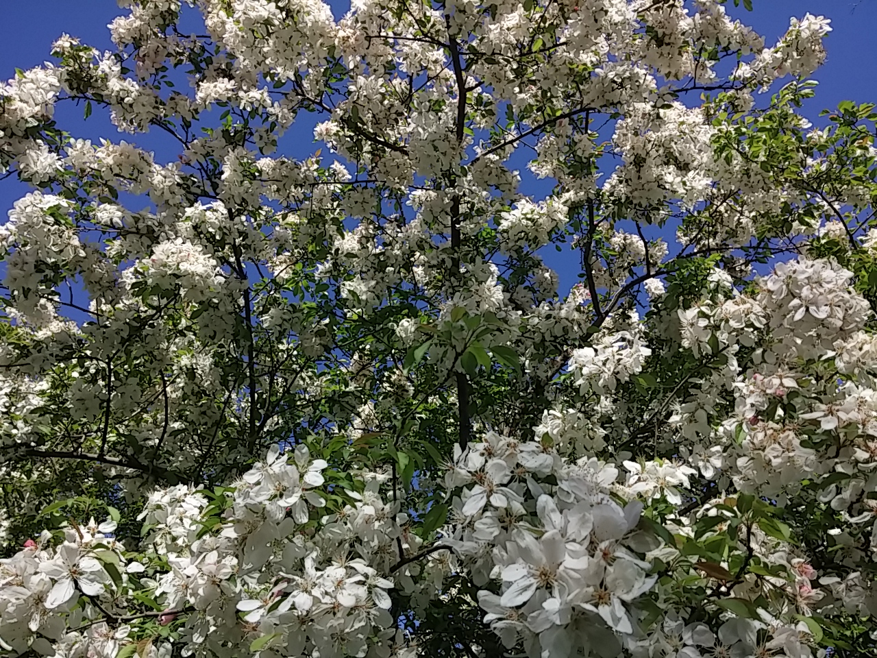
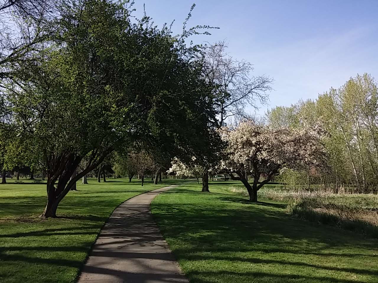
Many of the trees are in full bloom.
0412151653

And they are stunning!

0412151717

While bicycling along the path, I came across people exercising in many different ways.

Most people were walking and a few were jogging.

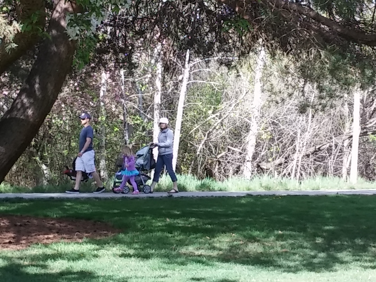
When I see families out together, I always think how smart the parents are because everyone knows that a tired child is a well-behaved child, especially when they nap and/or go to bed early.  🙂
0412151653a

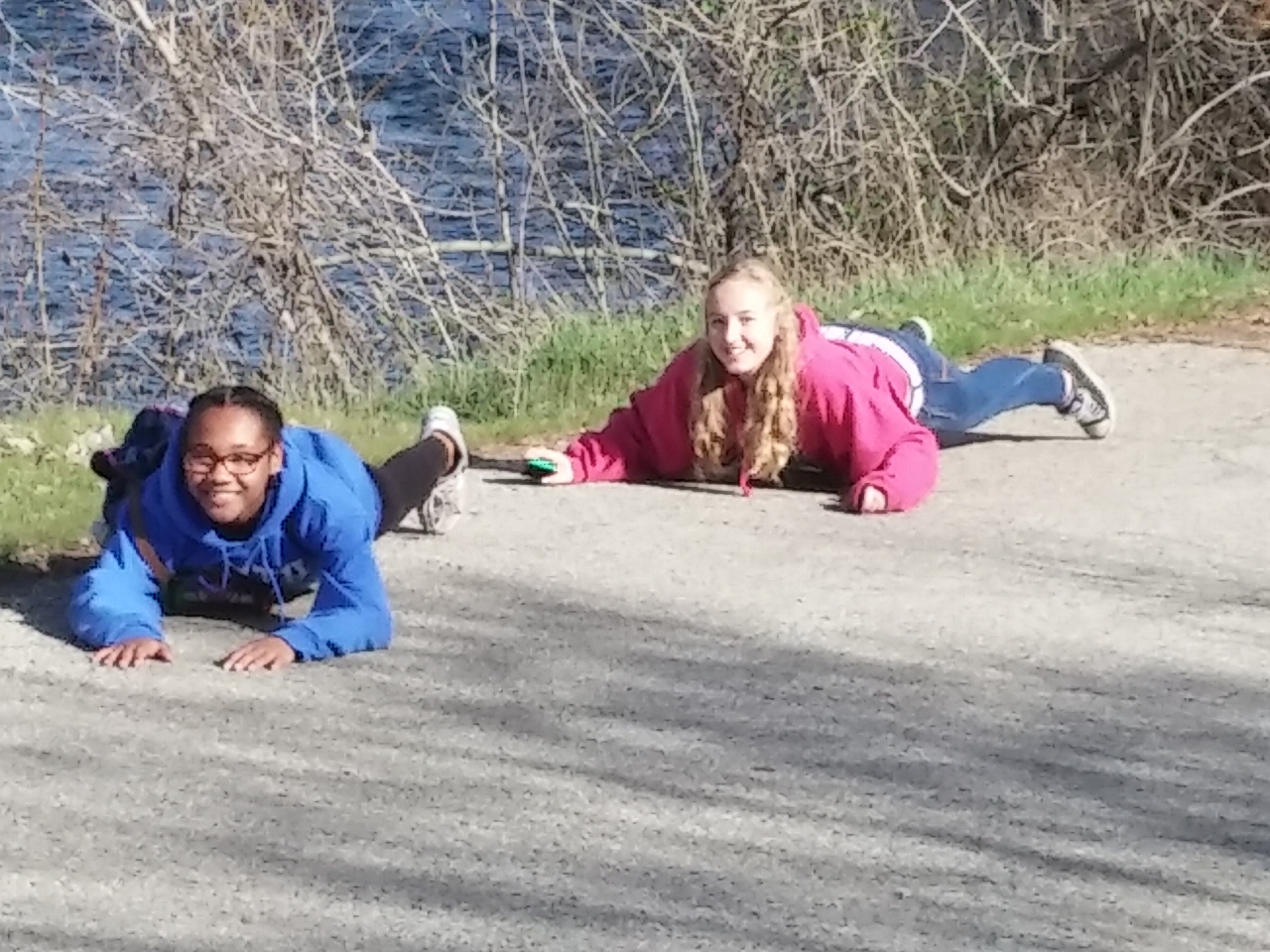
I was surprised how many skateboarders I saw. These young girls couldn’t explain WHY they were laying on their skateboards pulling themselves up a hill. They just giggled when I asked… 🙂 Must have just felt like doing it! Or perhaps it was a Truth or Dare and they choose Dare.
0412151727

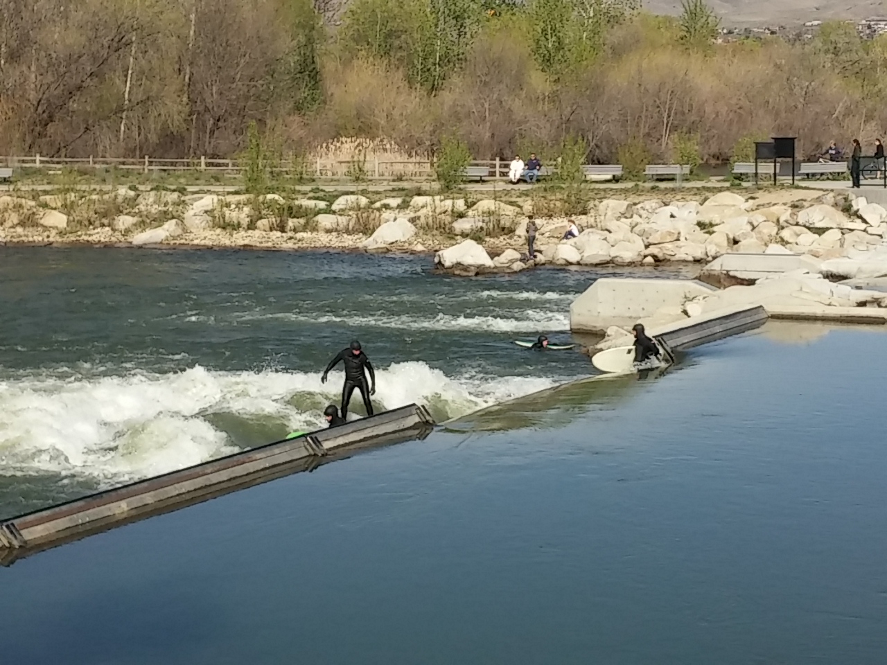
There’s a water park under development in the river. Until it’s completed, surfers and kayakers are lined up for their turn on the solo obstacle ready for use.
0412151704a

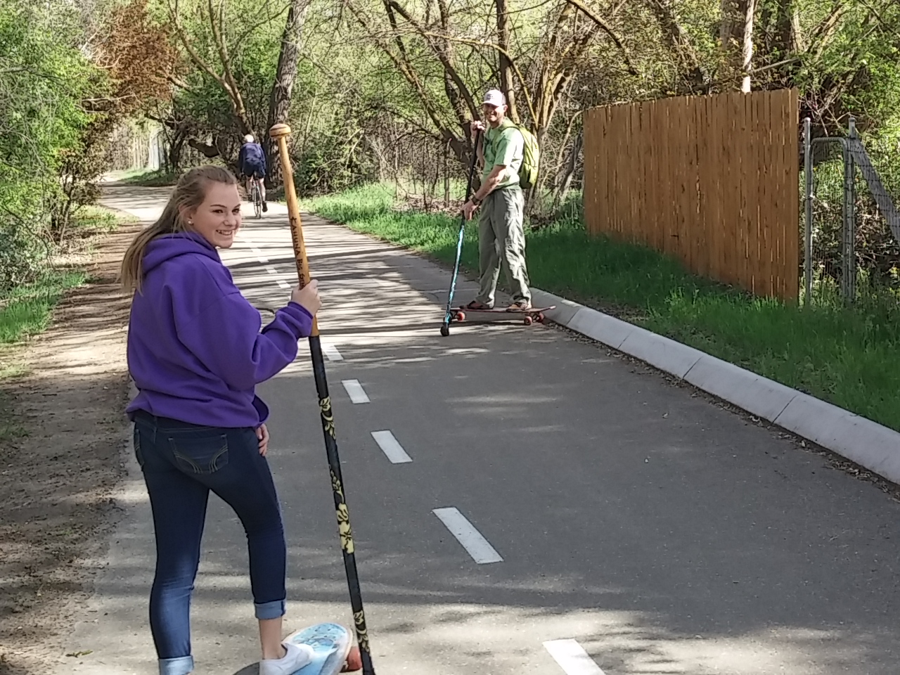
This dad and daughter told me this is called Land Paddling. It’s similar to Stand Up Paddleboarding, only it’s done on dry land. They use the stick, which has a large rubber tip, to push themselves along the path while riding a long board. Definitely a core workout…
0412151708

Bicycling. Roller skating. Skateboarding three ways: stomach crawl, standard, and with a big stick. Jogging. Walking. Surfing. Kayaking. That’s nine different sports viewed while on The Greenbelt.

Within the park, I saw soccer, volleyball, lacrosse, baseball, and kite flying. A plethora of sports.

Also saw lots of picnickers, lovers, and readers…

What fun to see people out and about enjoying a beautiful spring day.
0412151652

It’s Not the Cold…

Boise, Idaho

When we first moved to Boise nine years ago, I thought I was going to freeze to death.

download

I moved in mid-February and Rich in April. I expected to be cold during the winter. But I didn’t expect to be cold when Rich came in April. And I certainly didn’t expect to be cold until nearly the end of summer.

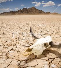
I had lived in cold areas before moving to Boise, but those areas were desert–virtually no humidity.

images (2)

Boise humidity isn’t exceptionally high, but it’s much higher than the Nevada desert.

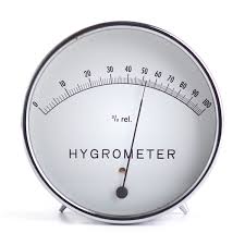
Just checked humidity as I wrote this post. Boise is 84%, and Reno is 47%.

Since returning to Boise last week, I feel the same way again: freezing to death!

images

We just finished spending four months in Phoenix, and the humidity there is a whopping 7%.

images (1)

So NOW I know why I have been feeling like I’m freezing to death since we’ve returned to Boise.

It’s not the cold, it’s the humidity.

download (1)

Home Means Nevada

Jackpot, Nevada

While we were visiting the Great Basin National Park, we stayed in the small town of Baker, Nevada.

Baker is home to 68 people according to the 2010 census. It’s very, very small.

But even though it is small, Baker is very, very interesting…

Clock of the Long Now

The Clock of the Long Now, also called the 10,000-year clock, is a proposed mechanical clock designed to keep time for 10,000 years. The project to build the clock is part of the Long Now Foundation. (Learn more…)

longphoto-clock-ofthe-long-now

In researching this, I found out that one of the prototypes for this clock is built on land that Jeff Bezos (founder and CEO of amazon.com) owns in Texas. Bezos has donated $42 million towards the project.

The final clock will be housed on land near Baker.  (PS You can’t make this stuff up! 🙂 Read more… )

Artists in Residence

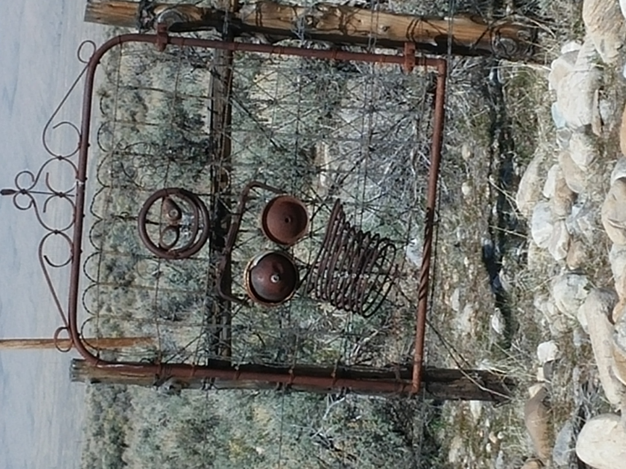
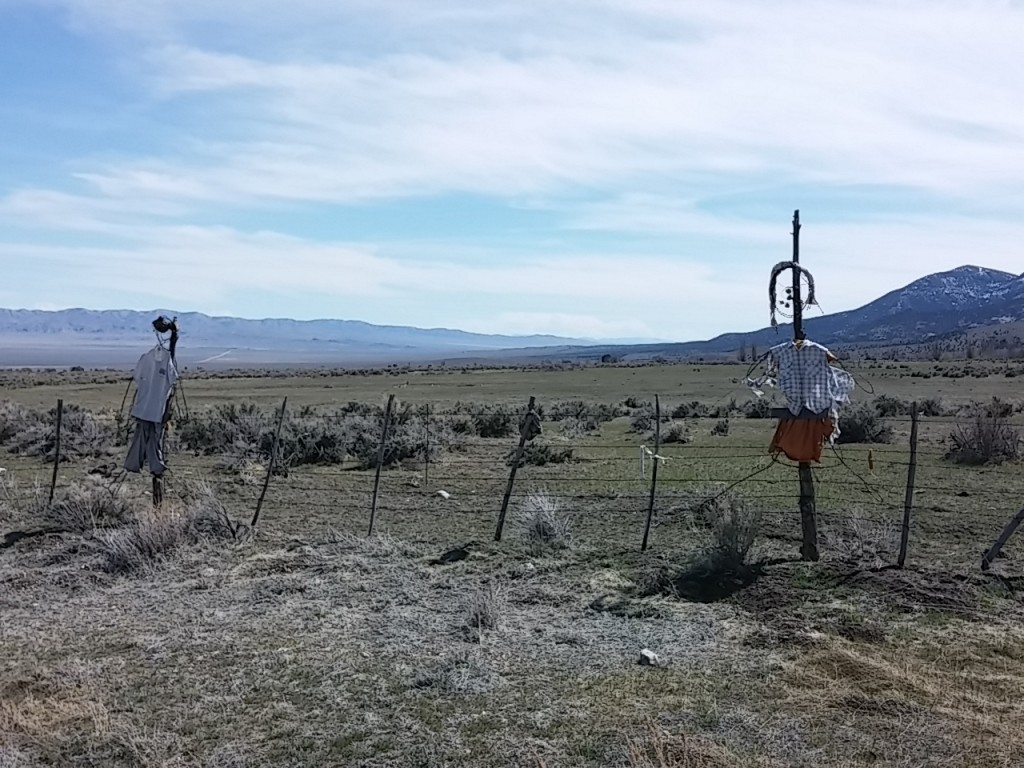
You’ll see a number of tongue-in-cheek “fence-art” sculptures along the roads leading to and from Baker. Termed “Post-Impression Art” by local residents (because the art is mounted on fence posts). The movement began in the mid-1990’s when “Doc” Sherman created the “Permanent Wave Society.” This sculpture consisted of rubber gloves filled with cement and mounted on the tops of fence posts. Doc’s artistic endeavors were amazing therapy for him as he was partially paralyzed by a crippling stroke.

0329151327 0329151326

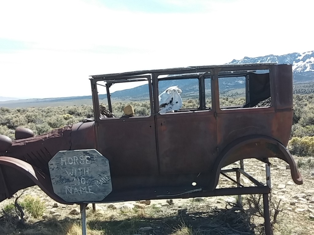
At least one of the artists has a very bizarre sense of humor. This work is named “Horse with No Name Mane”.

0329151321

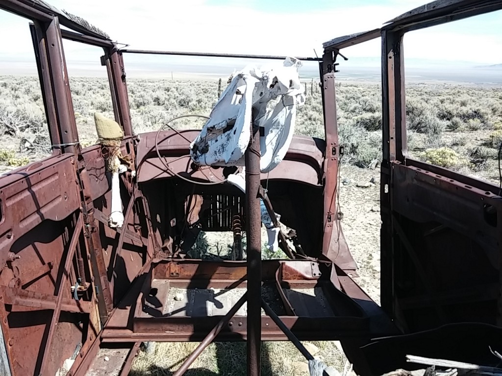
And it really is a horse, complete with a skull and the two front legs with hooves.

0329151322

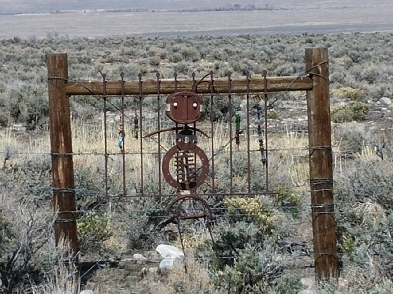
These two lovers are affectionately called Bob and Barb Wire.

0329151305a

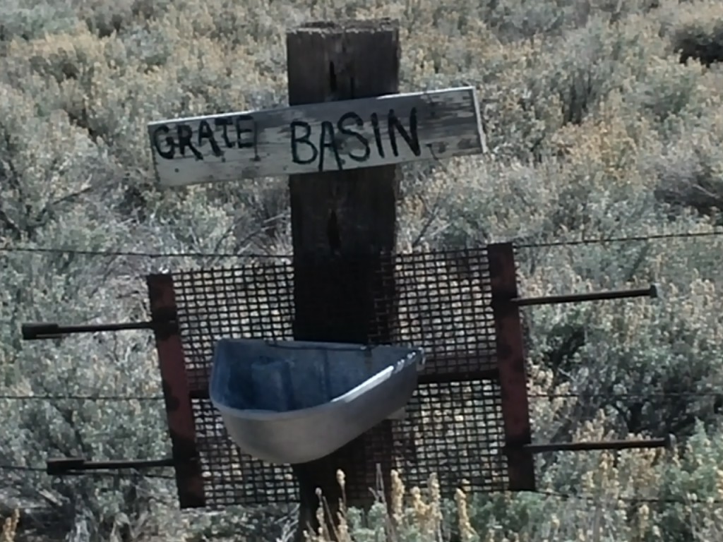
Here’s a tribute to the Grate Basin area. 🙂

0329151305

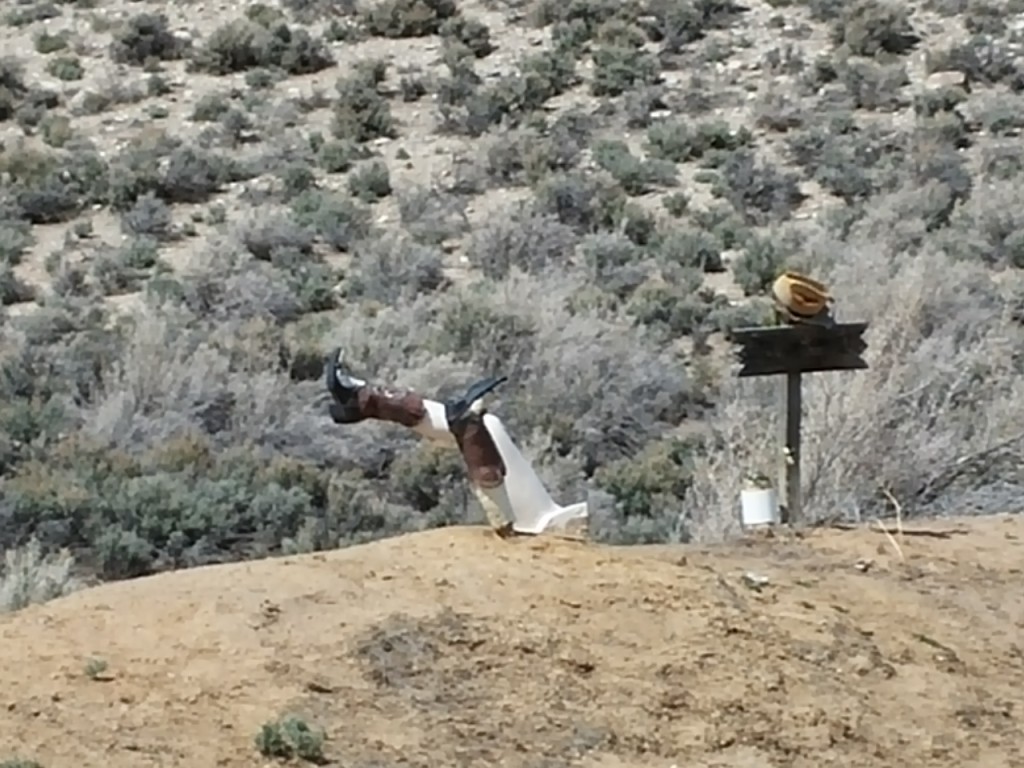
Apparently this guy was too tall for his grave hole.

0329151304

Water Fights

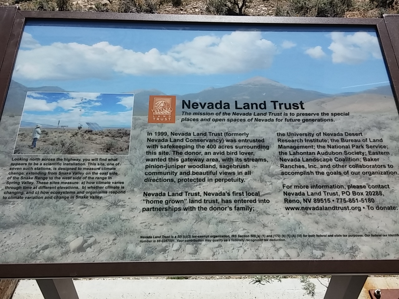
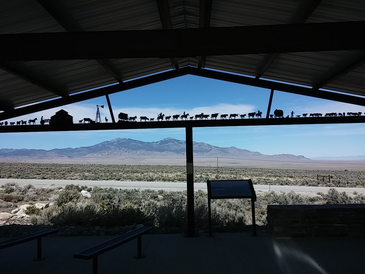
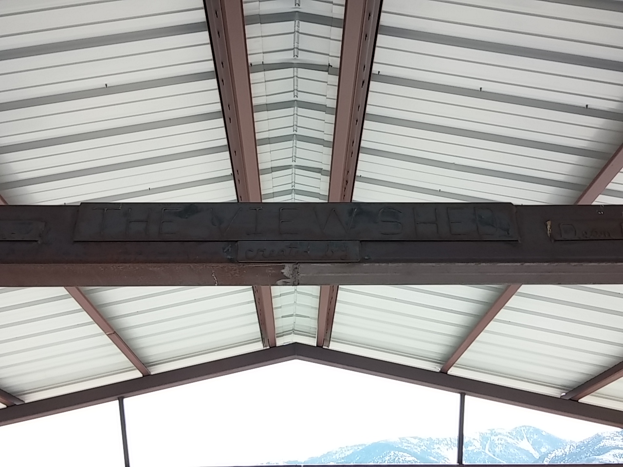
Water is a very precious commodity everywhere, and especially in the drought ridden western US. We paused at an exhibit put together by local ranchers and the Nevada Land Trust explaining ranch life, the use of water, and the practices utilized to increase productivity.

0329151324a

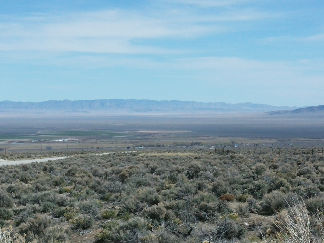
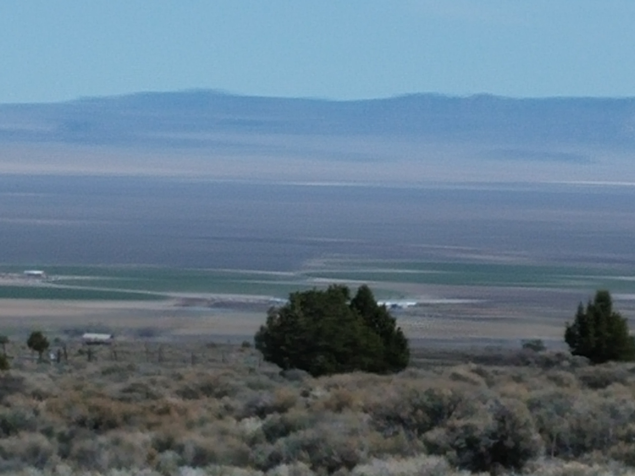
Local ranchers completed the display and the artwork inside. 0329151324The views from the exhibit show the raw, natural beauty of the area. 
0329151317

0329151303

Home Means Nevada

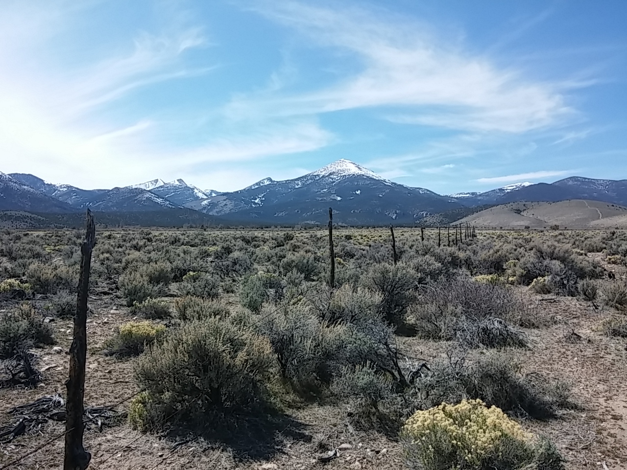
Coming back to Nevada has made me realize that I will always consider Nevada home. The snow covered (hopefully) mountains, the fragrant sagebrush, and the miles of uninhabited lands instill a serenity in me.

0329151322a

I was talking with Rich about this as we drove down a dirt road. He agreed.

And then he said, “But there’s one thing I don’t miss about living in Nevada. Look back in the mirror.”

Following us was a HUGE cloud of dust. 🙂

download (1)

I don’t want to move back, but I will continue to love to visit Nevada because “Home Means Nevada”.

Lehman Caves

0Ely, Nevada

We went for a tour of Lehman Caves in the Great Basin National Park last week.

Lehman Caves is a single cavern cave that extends a quarter-mile into the limestone and marble that flank the base of the Snake Range. American Indians knew of it long before the rancher and miner Absalom Lehman explored it in 1885. It is one of the regions most profusely decorated caves.

0329151048

Hundreds of thousands of years ago, surface water, turned slightly acidic from carbon dioxide gas, mixed with water deep below the surface, dissolving the soluble rock at the horizontal water table. Eventually the water drained from the cave, leaving behind hollow rooms and sculptured walls.

0329151037

In the second stage of development, water percolated down from the surface carrying small amounts of dissolved limestone (calcite). Drop by drop, over centuries, these trickles deposited and built to form the speleothems (cave formations) including stalactites, stalagmites, columns, draperies, ....

This formation is called a shield, and it is a very rare formation found in only a few other caves besides Lehman Caves.

0329151049a

This formation is called popcorn for obvious reasons. :-) 0329151030

The temperature in the cave is a pretty constant 50 degrees. And the humidity runs about 90 percent, dependent on the amount of snow pack 200' above us on the earth's surface.

0329151027

Here are some more shields. 0329151051

As we entered into each section of the cave with our guide Ranger Dusty, he turned on lights as he turned off the lights in the section we just left.

0329151101

These are called draperies and sometimes they have lighter/darker bands of color called bacon because that's exactly what they look like. 0329151050a

This photo reminds me of a Halloween jack-o-lantern. 0329151041

Many holes were in the walls and ceiling leading to parts unknown.  0329151040It felt like we were in a Disney World exhibit--complete with musty smells, damp air, and strategically placed lighting. 
0329151016

Our group of ten plus the ranger were in the cave for 90 minutes. It was interesting to listen to others' questions. Two young men were obviously geologists in training and put the ranger to the test with the complexity of their questions. 0329151100

This is a portion of what's on much of the cave walls and floor. It's layer upon layer of deposits made over eons...

0329151124At the start of the tour, Ranger Dusty turned off all lights for about five minutes. We literally couldn't see a thing.

I didn't realize until then how seldom, if ever, I'm in complete darkness. It was totally black and I couldn't see my hand two inches in front of my face. Surreal and weird. Just like the cavern formations...0329151029

Scenic Byway Highway 12

Baker, Nevada

Late last week we traveled along Utah’s Scenic Byway from near Bryce Canyon to Boulder, Utah. What an amazing road!

0327151235a

Scenic Byway 12 takes you to the heart of the American West. This exceptional 124-mile route negotiates an isolated landscape of canyons, plateaus, and valleys ranging from 4,000 to 9,000 feet above sea level. You’ll encounter archaeological, cultural, historical, natural, recreational, and scenic qualities while driving this exhilarating byway.

Our journey was about 75 miles of the 124 miles total on the road which has been designated as one of America’s 150 Byways.

First up? Red Canyon. A beautiful canyon that has a paved bike and walking trail. Note to self: Carve time to ride or jog this next time we’re here. Oh, and don’t forget to wash the windows in the Jeep if you’re going to take pictures while driving… 🙂

0327151639b0327151638c0327151637a 0327151637

Loved this old gasoline pump and the signage that read, “Too Pooped to Pump”!
0327151611This is Grosvenor Arch, a unique sandstone double arch that is located within the Grand Staircase-Escalante National Monument. It is named to honor a former president of the National Geographic Society.  The arch is over 150′ tall.

03271514180327151420Next up along our drive was a badlands area. Badlands are a type of dry terrain where softer rock and clay-rich soils have been extensively eroded by wind and water. The badlands were a fascinating contrast against the far away red hoodoos of Bryce Canyon.

0327151018aThe most scenic area of the drive was from just outside of Escalante to Boulder. Much of the road here was built from 1935 to 1940 by the Civilian Conservation Corps. The road was built directly on rock; miles and miles of it!

0327151100

Nicknamed the Million Dollar Highway because of the back-breaking labor and tons of dynamite blasting through the slickrock terrain. This was done in the days before heavy machinery, so construction debris was removed with horse-drawn scrapers and by hand with picks and shovels. 

0327151102a

0327151059

On some of these pictures you’ll have to look really hard to see the black asphalt ribbon of the road. That shows you the immense size of the road and the length of the road through the rock.

0327151059a0327151102It’s the most amazing road I’ve ever been on. Ever…

On another part of the road, we were literally driving up to and along the top of the mountain ridge. 0327151115a

The mountain falls off dramatically hundreds of feet on each side of this ridge. 0327151124You  never know what’s around a bend…

shooting-star-rv-resortWhat a surprise to see an RV Park that rents Airstream travel trailers and shows movies on a drive in screen!

0327151345a

We stopped to eat a picnic lunch and had a visitor. 🙂

0327151305a


Hike the Hoodoos

Panguitch, Utah

We weren’t able to do any hiking inside Bryce Canyon National Park because we had Sophie and dogs aren’t allowed on trails.

But we did find a hike on the outskirts of the park that was short. And it was cool enough that we didn’t have to worry about leaving Sophie in the Jeep.

It’s a hike to both a waterfall and a mossy cave. Cool!

0326151441

It was the first time we saw the hoodoos (rock columns and towers) from below and they looked very different up close and from below. We could see more texture in the rocks and the subtlety of the color changes throughout the rocks.

0326151448

0326151447a 0326151447

Pioneers labored for two years to complete the Tropic Ditch, an irrigation canal, to bring water to the valley below. Water has flowed along the route, except for during the severe drought of 2002, for over a century. Looking at the small snow pack and the amount of water coming down  makes me wonder if 2002 is being repeated.

0326151442

At times, the water must really roar through the area as evidenced by the size of this pine tree trunk at the edge of the wash.0326151446

There’s a bridge across the Water Canyon dry wash area.  0326151445b

I was entranced by the series of small arches that peek-a-booed through the trees as we hiked.

0326151445 0326151444 0326151443a

The mossy cave usually has ice until sometime in April, but it’s been such a warm spring that there’s only one small chunk. The moss on the cave’s roof is saturated with water from springs.

0326151437

I love, love, love this quote by LBJ that I saw in Bryce Canyon:

“If future generations are to remember us more with gratitude than sorrow, we must achieve more than just the miracles of technology.

We must also leave them a glimpse of the world as it was created, not just as it looked when we got through with it.”

0326151058

Whenever I see nature’s wonders, I’ll remember this quote and continue to leave no trace of my visit…

Bedazzling Bryce Canyon

Panguitch, Utah

Wow! And double WOW! We visited Bryce Canyon yesterday. It is simply amazing!

First stop? Sunrise Point at 8015′ elevation. Highest place we visited in the park? Rainbow Point at 9115′.

0326151052

A little Bryce Canyon information from the park brochure, and then I’ll just let the pictures speak for themselves…

Weathering and erosion shape these statuesque rock features, but unlike many places, flowing water only plays a minor role in this story. As snow and ice melt, water seeps into fractures. As it re-freezes, it expands and cracks the rock around it. This common process of frost-wedging happens with uncommon frequency at Bryce Canyon.

About 180 days a year temperatures swing widely between freezing nights and warm afternoons. The combination of gravity and meltwater causes soil creep, moving the stone fragments downhill. Rain from summer thunderstorms further dissolves the limestone into a clay ooze and generates just enough flowing water to help remove the debris. 

03261513440326151343a

These caverns are all on the same horizontal plane because the rock is the same at that level. Notice there are no caverns below that level where the rock is the same color. 03261513390326151338

The cliffs and bulbous columns are called hoodoos. Legend has it that the hoodoos are ancient people who took too much from the land who were cursed and turned to stone.

0326151336Notice the small arch in the middle of the rock. 
0326151229

It’s big country…032615121803261512120326151210

This arch is called the Natural Bridge.

0326151141I like the contrast of the pine and fir trees against the canyon backdrop.

0326151335a03261511120326151111

0326151054I don’t think I would have found the canyons nearly as stunning without the  white contrast from the snow. 
0326151104a03261511000326151059bLook really closely in the middle of this picture. You’ll see a trail that goes up through a crevice in the rocks. Just before that crevice, you can see four teeny-tiny hikers!

0326151358

And we finished off the visit with a view of about a dozen mule deer does! Doesn’t get any better than that…0326151409b

A few more random shots from our visit…

There should be LOTS more snow here…

0326151205

And this signage reflects much of what’s happening across the west–not enough water!

0326151208

Rich’s comment about this guy? “You can’t fix stupid!” 
0326151216a

Snowbird Snow Shock!

Panguitch, Utah

We drove yesterday from St. George to Panguitch, Utah. It’s only a little over 100 miles, but, for snowbirds like us, the distance was more like light years because we went from early summer-like weather to SNOW in a matter of minutes!

It’s a beautiful drive. The St. George area is difficult to describe. It’s a series of valleys with small ranges in between and each valley and range is very different…

0325151020

0323151354b

As we drove out of the area, the rocks and mountains got bigger and taller.

0325151128

All of a sudden, we saw SNOW! It’s been months since we’ve seen this much snow this close! And the contrast with the red rocks makes the snow pop out even more. 0325151137 0325151135

Just as we got used to the red rocks, we were in tan rocks. 0325151128a0325151040aWe ended up in the small town of Panguitch. It’s our base point for touring in and around Bryce Canyon National Park.

Panguitch is a Native American word meaning big fish. The pioneers first settled the valley in March, 1864. The first winter was exceptionally cold and hard. Crops had failed; people were hungry. Seven men braved the elements to get flour in Parowan, 40 miles away, over what is now Highway 20. The snow was so deep that they had to abandon their oxen and wagon. They were able to reach Parowan by placing a quilt on the deep drifts, walking to the end of the quilt, and then placing another down, and retrieving the first.

This became known as the Panguitch Quilt Walk, and it is still celebrated in the town.

0325151617 0325151616 0325151616aCloseup of the quilt. Beautiful!

0325151616b

The town was abandoned during the Black Hawk War and resettled in 1871. A brick factory was built and people in the community worked in the factory. They weren’t paid with money; they were paid with bricks. Many of the large brick homes built are still standing today.

0325151428All of Panguitch City is listed as a historic district in the National Register of History Places. 

0325151628a

0325151628

We drove out of Panguitch on Highway 143 to try to get to Cedar Breaks National Monument.

I’ve never seen a highway sign like this. Made me giggle… A lot of people must take the wrong turn on Highway 89 when it runs through Panguitch…
0325151611b

On the way up to Cedar Breaks, we passed some amazing scenery.

0325151553

Including Panguitch Lake, completely frozen over.

0325151455

I wish we would have counted the number of LDS churches we have seen in Utah. A few days ago we saw two on the same block. This one up in the mountains is the first one I’ve seen that has a mountain theme to it. 0325151545

Views of Cedar Breaks National Monument area. This is as close as we could get…0325151526a

0325151524b

0325151526

…because the road into the actual monument is closed because of snow. 0325151525Sophie had a blast playing in the snow at several stops along the way!
0325151524Nothing feels as good as a roll in the snow! 🙂 
0325151456

Zion, Part Two

St. George, Utah

Zion National Park is a bit unique in that there are two parts to the park.

Most people enter the east or south entrances of the park and drive to the other…0323151156

There is a shorter in-and-out drive in the north western section of the park called The Kolob Canyon.

0323151223

While not as diverse as the other side of the park, the Kolob Canyon is stunning.

0323151209

It’s easy to look at the massive rocks and think they never change, but this display proves that thought wrong.

0323151215

The drive is about 30 miles north from St. George, and we’re very glad we did it.

0323151156

At the risk of sounding silly, I named this split rock “Plumbers Butt” because it reminded me of too many subcontractors’ behinds over 30 years of construction…

0323151216

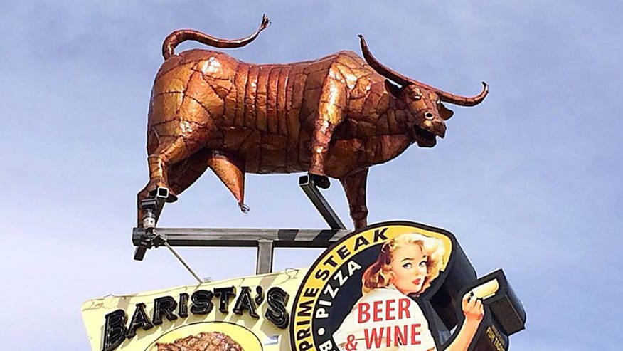
And right along the silly line, this ‘art’ sculpture in the small town of Hurricane was the subject of a local news story the same  night we first saw it.

download

promo251351986

0323151324a

When we drove past the statue, I commented that the bull’s genitalia seemed disproprtionally large.   Apparently that’s what many town members think, too, and they want the city to force the owner to remove the statue.

This story even made national news...

The restaurant owner, who spent $130,000 on the piece, said all those who object to the statue are “just jealous.”

Now there’s a petition to deny the owner his liquor license. So far over 500 signatures have been collected.

I love small towns so long as I don’t have to live in them! 🙂

Amazing Zion

St. George, Utah

We toured parts of Zion National Park the other day.

Wow! It’s an amazing place.

We weren’t able to do the scenic canyon tour because it’s only open for bus tours and we can’t take Sophie on it, but we still were amazed with all we saw.

First off, here are my last pictures from the park. We at our picnic lunch from under this tree with these spectacular views.

0320151313

0320151236c

This is the road we drove up and down. In the middle of the drive is a tunnel that’s over one mile long. Thankfully, there are holes letting sunlight in periodically because the dark can get a bit overwhelming. 🙂 0320151236b

Stunning just doesn’t begin to describe the vistas…0320151236aIn addition to all the beautiful rock formations, we are back in PINE TREES–my favorite flora!

0320151225a 0320151225

Just a beautiful drive…0320151214a

Here are some closeups of what the wind and water have done to the sandstone. 0320151214
0320151213 0320151212a

0320151211a 0320151211

Almost too much to take in at once. 0320151210

This is called the Checkerboard Mesa. The vertical lines are caused by wind etching the layers of sandstone. The horizontal lines are more rare, and they are caused by water seeping into cracks and then expanding. 0320151203

The diversity of colors is just amazing!0320151202

I think they added red dirt to the asphalt mix because the roads within the park are tinged with red. 0320151156Sophie enjoyed Zion, too!

0320151213a