Category Archives: Places

Hoover Dam + Bypass Bridge

St. George, Utah

The other day we toured around Hoover Dam and walked across the new Hoover bypass bridge.

Hoover Dam

We actually didn’t do the tour because we had done that many years ago when our kids were younger at one of Melissa’s softball tournaments.

Hoover Dam, once known as Boulder Dam, is a concrete arch-gravity dam in the Black Canyon of the Colorado River, on the border between the U.S. states of Arizona and Nevada. It was constructed between 1931 and 1936 during the Great Depression and was dedicated on September 30, 1935, by President Franklin D. Roosevelt. Its construction was the result of a massive effort involving thousands of workers, and cost over one hundred lives.

0318151034

It’s mind boggling to think that it was built in five years!

0318151036

The white ring is a high-water mark called a “bathtub ring” shows the original shoreline of Lake Mead. The bathtub ring is white because of the deposition of minerals on previously submerged surfaces.

Lake Mead is distressingly low. It reaches its last peak in 1998 at an elevation of 1215.76. Top capacity is 1299. Currently it is at 1,112. On July 11, 2014, it reached its lowest elevation since the dam was constructed at 1,081.77.

The contrast of the bathtub ring against the red and brown rock is stunning.

0318151106a

The picture below is for one of the spillways. It’s huge when compared to the fifth wheel travel trailer parked nearby.

0318151107

Mike O’Callaghan–Pat Tillman Memorial Bridge

Opened in 2010, it was the key component of the Hoover Dam Bypass project, which rerouted US 93 from its previous routing along the top of Hoover Dam and removed several hairpin turns and blind curves from the route. It is jointly named for Mike O’Callaghan, Governor of Nevada from 1971–1979, and Pat Tillman, an American football player who left his career with the Arizona Cardinals to enlist in the United States Army and was later killed in Afghanistan by friendly fire.

The bridge is a stunning engineering feat. Here it is as seen from Hoover Dam.

0318151056a

Pedestrians can walk across the bridge. Here’s the state line dividing Nevada and Arizona.

0318151029
And here is the Apex of the Arch point on the bridge. 

0318151039When we walked to the end, Rich noticed how much the bridge expands and contracts, indicated by two marks. Look at the top railing near the middle and you’ll see about a four inch black spot. That’s where it’s rubbing against itself. You can see a similar mark on the bottom joint.

0318151035

It’s just a beautiful bridge! 
0318151106

Historic Railroad Trail

St. George, Utah
While visiting the Hoover Dam the other day, we happened upon a great hike.
It’s The  Historic Railroad Trail, originally used to transport materials while Hoover Dam was under construction.

It’s a 2.3 to 3.7 mile trail (one way depending on how far you go) which takes you through 5 tunnels with sights of Lake Mead with a final stop with a sight of the Hoover Dam if you go to the end. There are great views of Lake Mead, and informational kiosks explain the history of the railroad and tunnels.

The highlights of the trail include five tunnels. These tunnels are a whopping 25′ in diameter. They needed to be that big to accommodate the large loads transported to the dam site.
0318151216

Timeline & Facts 

1931: Lewis Construction Company began construction under Bureau of Reclamation.
1961: Last year railroad in use.
1962: Tracks dismantled and sold for scrap.
1984: Nominated to National Register of Historic Places.
Length: 3.7 miles from trailhead to Hoover Dam Parking Garage.

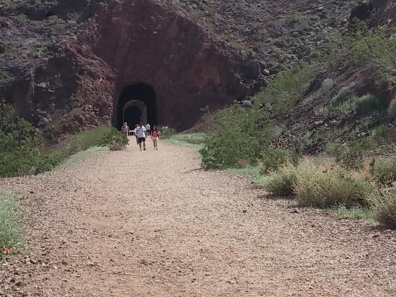
You can see the size of the tunnels as compared to the hikers.

0318151212
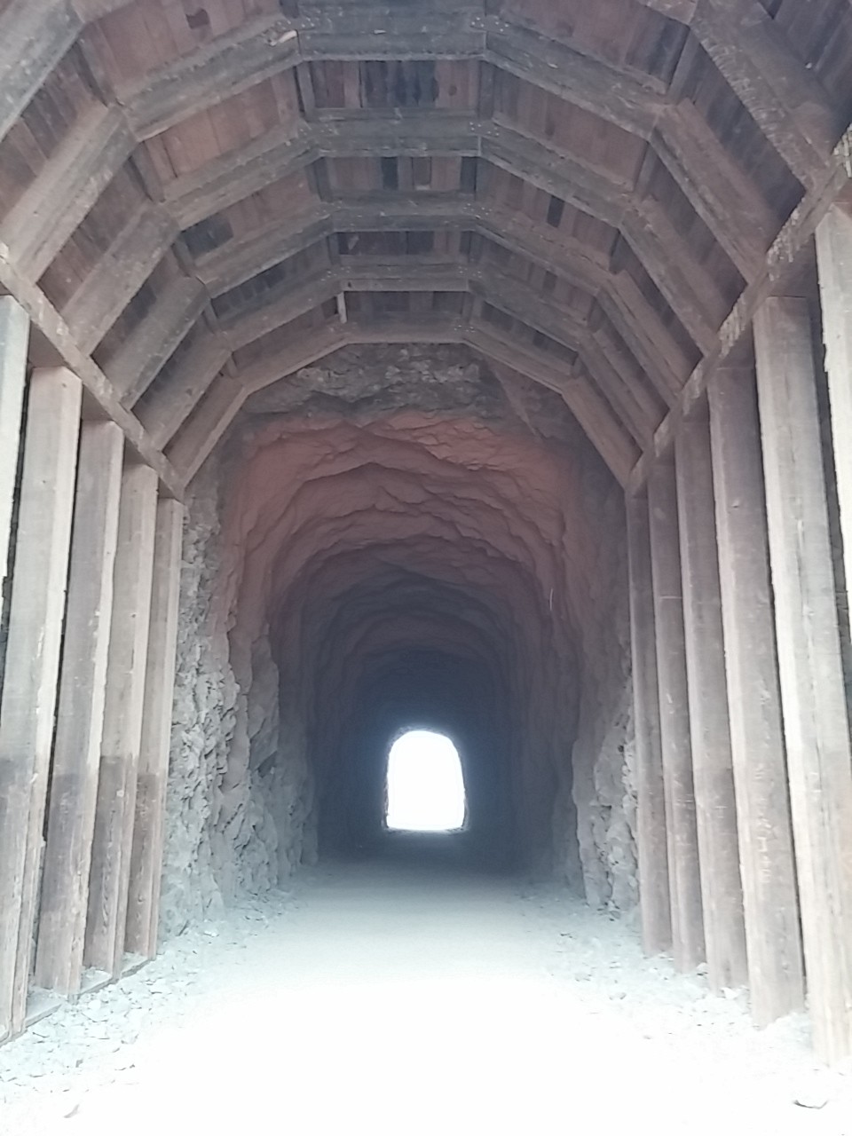
Only a few of the entrances are shored up with timber.
0318151218
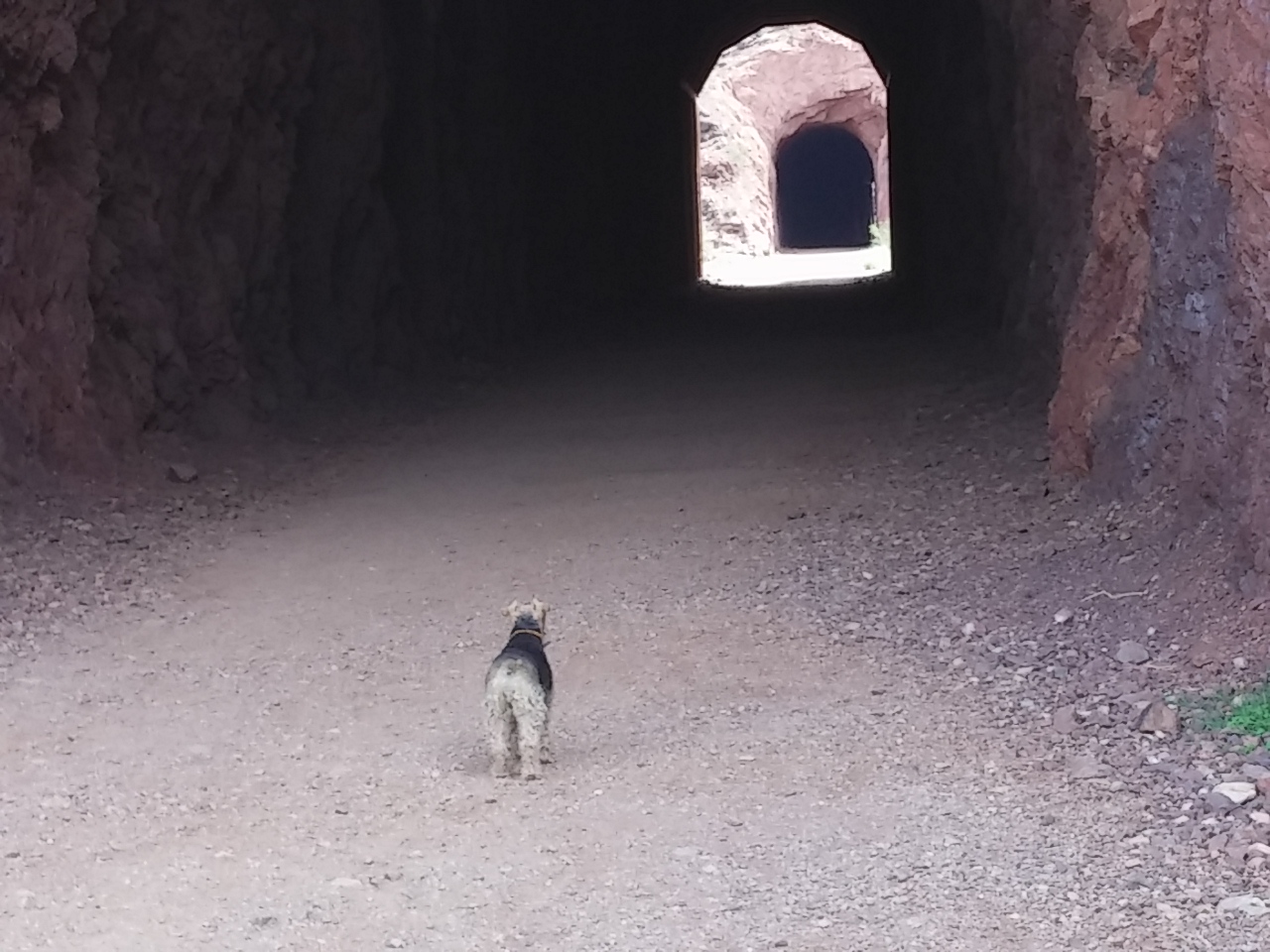
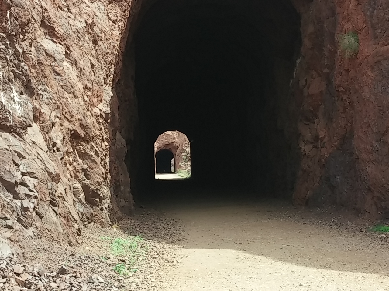
I love how you can see the exit of one tunnel from the entrance of another.
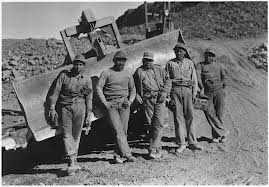
0318151315It’s hard to imagine the difficulty of blasting the rock and creating the railway lines.

indianworkers

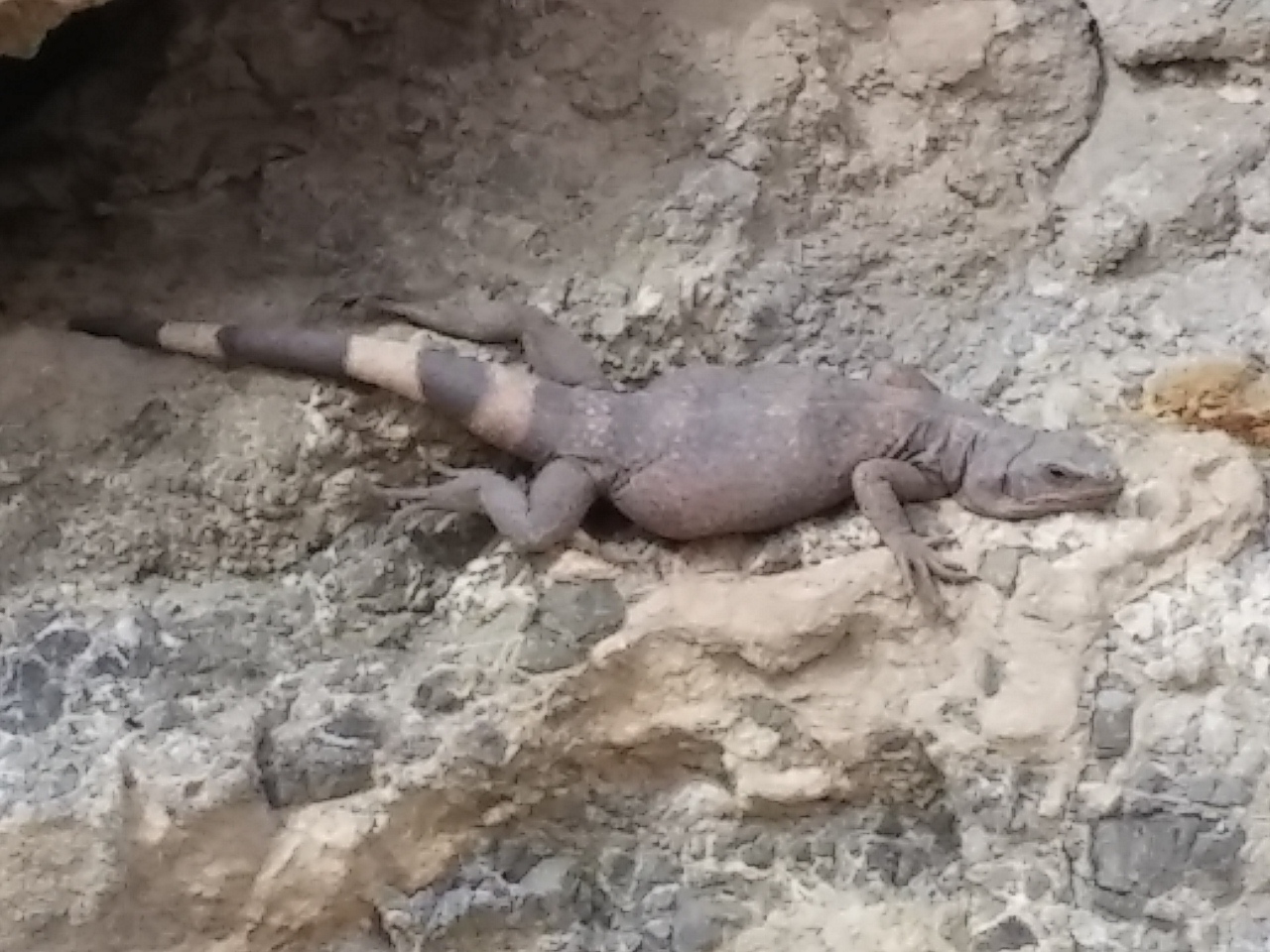
And at the end of our hike, a HUGE lizard. As near as I can guess, this is a Chuckwalla lizard. This one was about 12″ long, but they can grow to 16″. Yikes!
0318151341bAnd I always wonder if lizards look at us and say, “Hideous, just hideous!” 🙂


Best Street Banners Ever

St. George, Utah 

We have passed through hundreds of cities on our journey, and I love to look at the different ways cities and towns decorate with signage.

Last week I saw a series of banners in Bullhead City, Arizona, that brought me to proud and beautiful tears.

5379b28e760ed.image

The program to spotlight active military members was initiated by a group of mothers who have children in the military.

Tri-State Military Moms

Shortly after 9/11 the Tri-State Military Moms was founded by a small group of local moms from Needles, CA, Bullhead City, AZ, and Laughlin, NV, to help support our troops!!!

53448b4bbbba7.image

The Bullhead City Area Military Recognition Program was created through a partnership with the Tri-State Military Moms, Inc., the city of Bullhead City, and the Arizona Department of Transportation, to honor and recognize active duty military members of our community. Banners will display the official military photo of the service member, name and branch of the United States Armed Forces.

Isn’t that the most wonderful idea for street banners?

How great would it be if every city in America did that?

BoUs5s5IAAAF9gA

Bootleg Canyon

Boulder City, Nevada

We crossed into our 12th state recently. So we’ve stayed in one-quarter of the lower 48 states. Amazing…

We went for a short hike in the River Mountains area near Boulder City.

0317151543

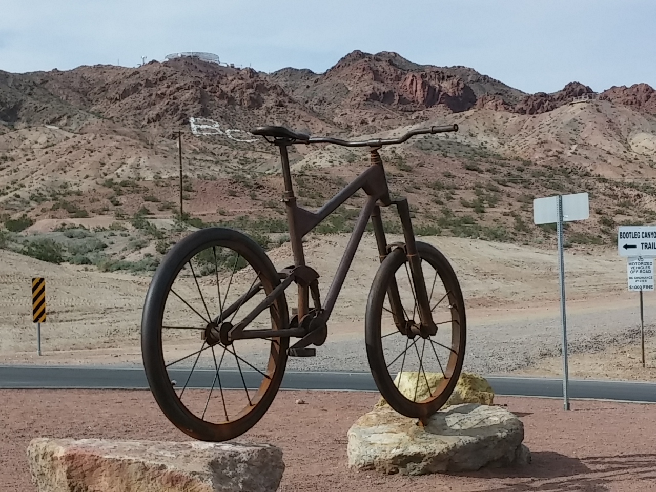
There’s a great mountain bike park that’s perfect for a hike. It’s called Bootleg Canyon.

0317151638

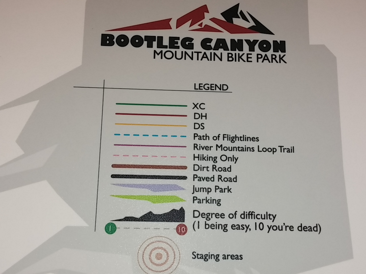
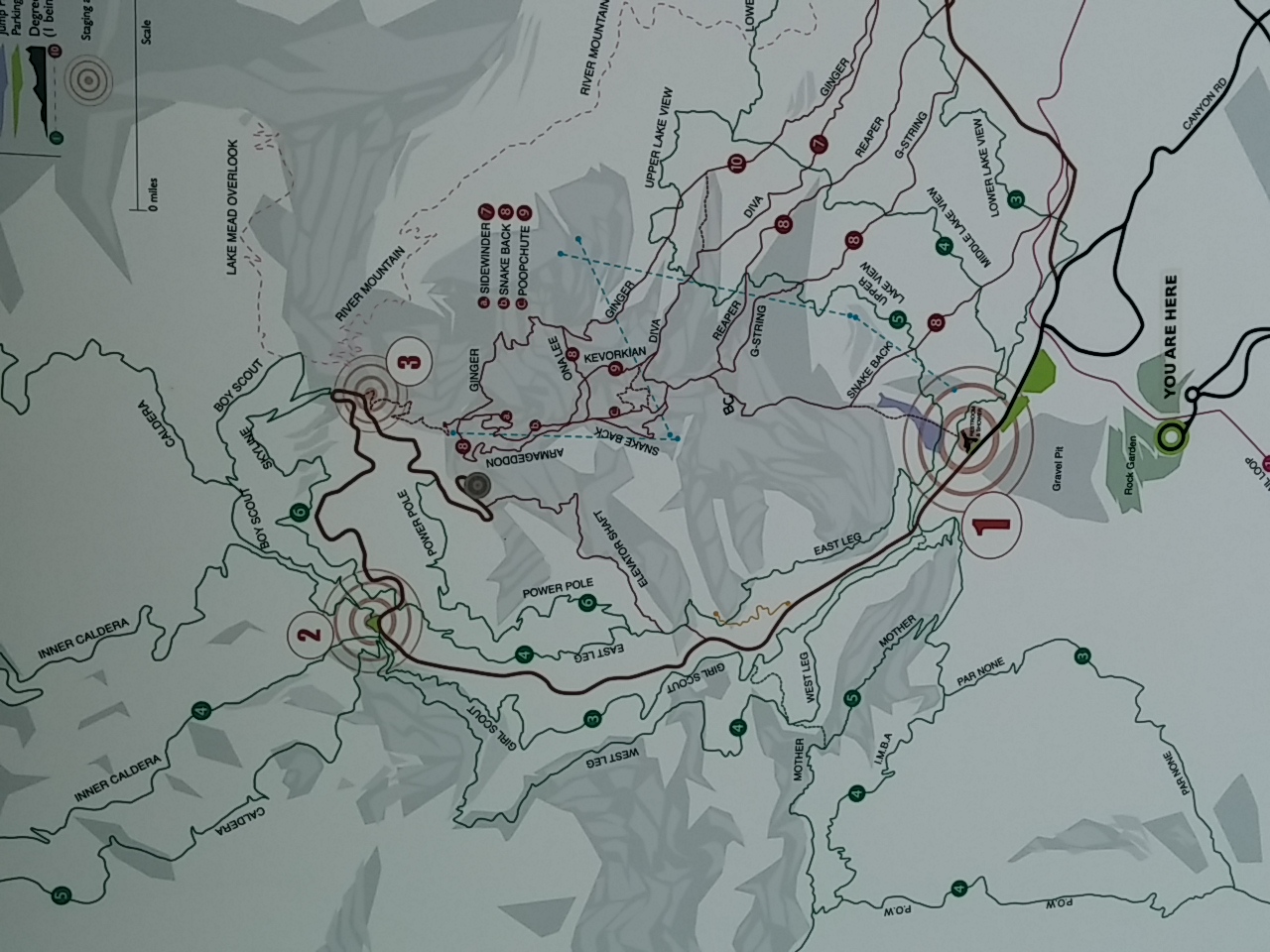
As you can see from the legend above and map below, it’s an amazingly complex set of trails with lots of challenges.

0317151638a

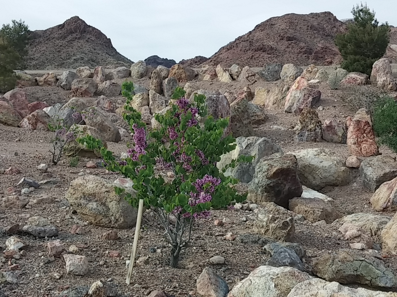
The area of the park leading to the trails was exquisitely designed with stunning rock formations and a wide variety of mostly native plants.

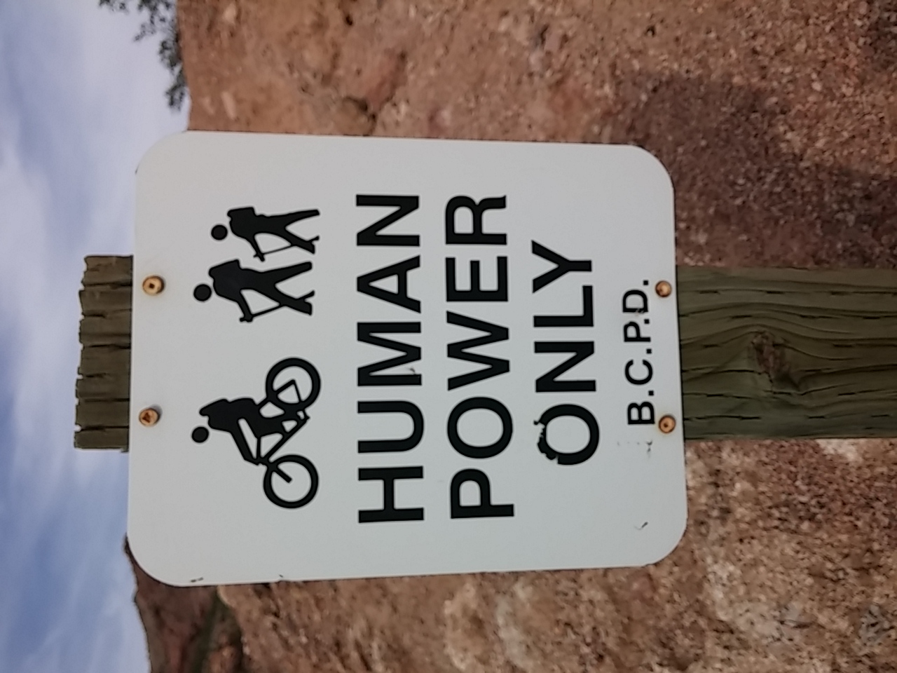
0317151633aNo motorized vehicles are allowed in the park. 🙂

0317151614

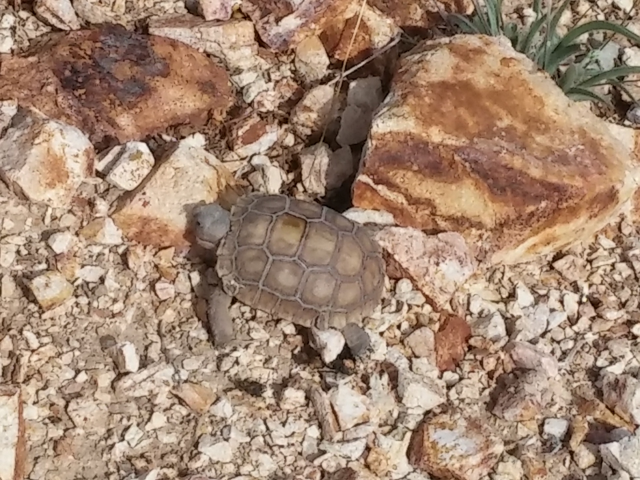
Sophie found a treasure: a small desert tortoise.

0317151600

She only sniffed it once and then thankfully let it be. It was teeny tiny- -about 3″ long. They are endangered and protected. I took my picture from at least six feet away as it slowly crawled away.

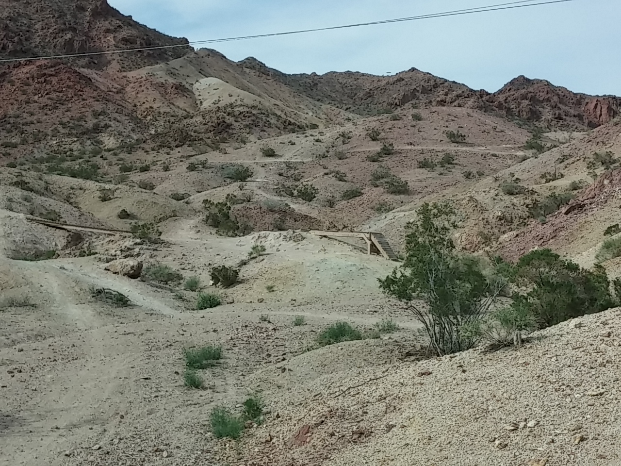
One of the things that surprised me in the bike park was the use of wood to create props for people to ride over.

0317151549a

There were ramps and bridges. I’m sure the riders appreciate and use them.

The area reminded me of a place near where I used to live in Reno before turning ten.

Carol and I used to spend hours at “Lizard Country”–a pond about half a mile down the street. We caught lizards using sticks and dental floss with a special knot our dad taught us to make.

We caught tadpoles and kept them in special buckets with rocks and water, watching their metamorphosis into frogs.

And we had a blast!

Back Country Byway

Lake Havasu City, Arizona

We spent yesterday exploring the Lake Havasu area a bit. Here’s what we learned…

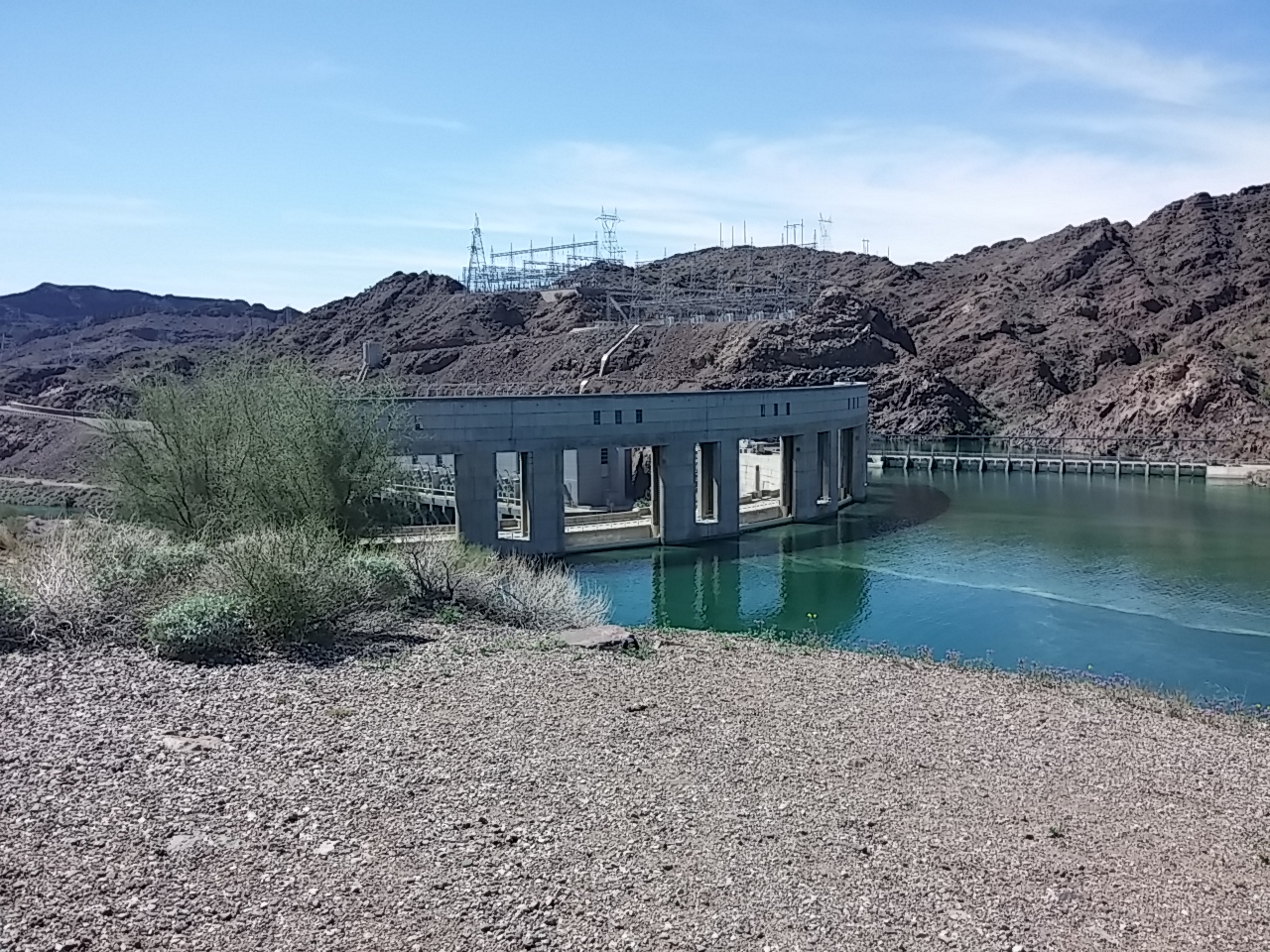
Parker Dam

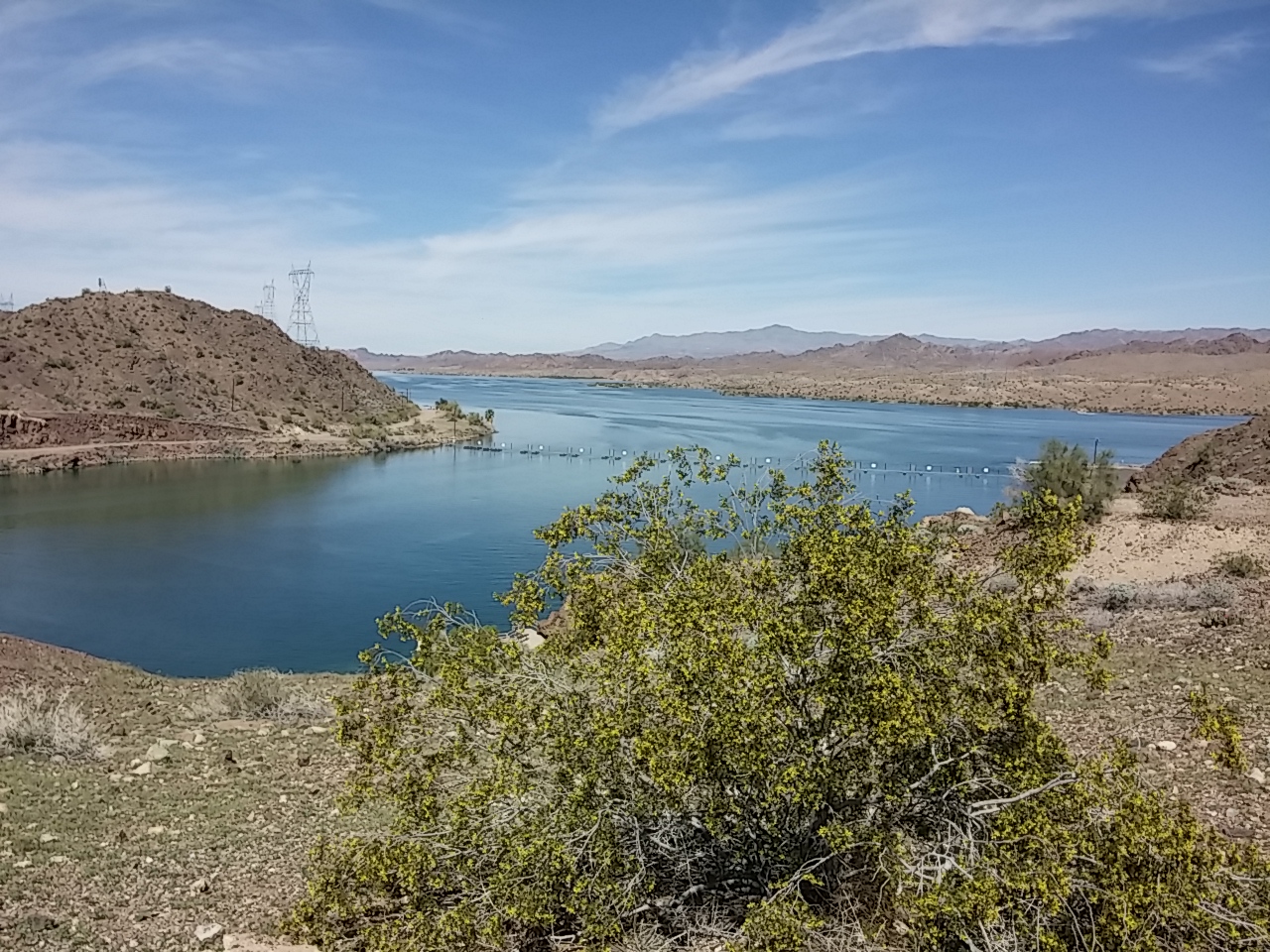
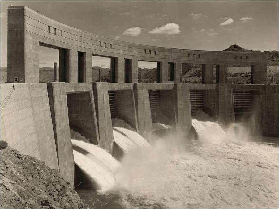
Lake Havasu is created by the damming of the Colorado River at Parker Dam which is about 150 miles downstream from Hoover Dam. The Parker Dam was built in the mid-1930’s and is “the deepest dam in the world”. It is 320 feet,  with 235 of those feet situated below the riverbed.

Here’s the up river side of the dam:

0316151219a

The dam’s primary function is to create a reservoir and to generate hydroelectric power.

ParkerDamPowerPlant

Lake Havasu can store 647,000 acre feet of water which is over 210 billion gallons. The lake is the water source for the Central Arizona Project Aqueduct which provides water for irrigated agricultural areas and municipal water for several Arizona communities, including the metropolitan areas of Phoenix and Tucson.

Back Country Byway

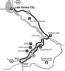
Much of the road on the California side of the Colorado River below the Parker Dam is  Back Country Byway. I had never heard of the term, so, of course, I Googled it.

BLM Back Country Byways serve a unique niche in providing an “off-the-beaten-path” adventure through landscape settings as diverse as the West itself. The BLM currently manages 54 BLM-designated National Back Country Byways totaling approximately 2,952 miles in 11 western states. Learn More.

parker-byway

The drive was very scenic and I’ll definitely be looking for more Back Country Byways…

Patriots and Bible Thumpers

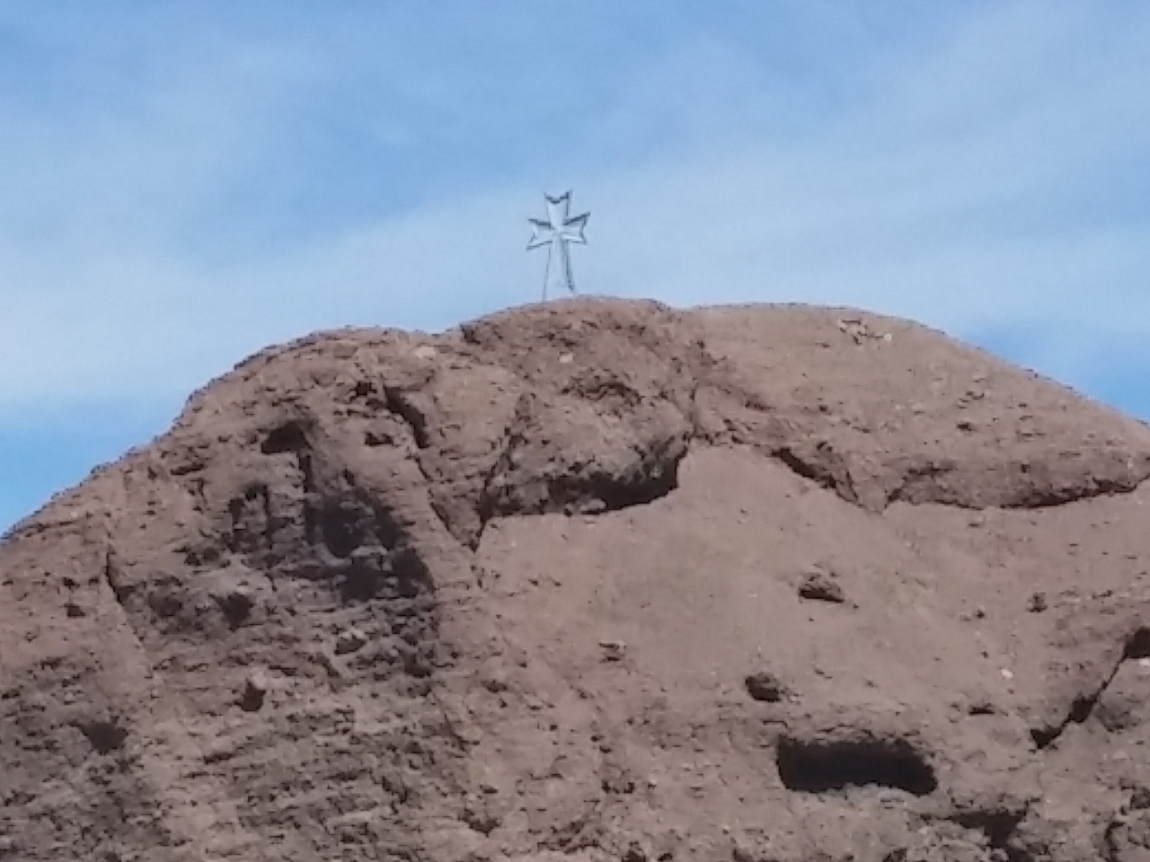
One of the interesting things I noticed on the drive was that on the California side of the Colorado River, we passed about a dozen crosses. They were spaced out along the drive and placed atop mountains and/or rock formations. 

0316151143

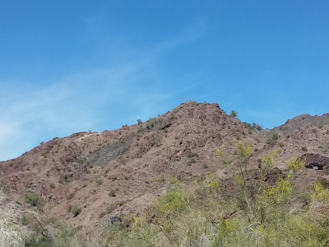
On the Arizona side of the river, there were about a dozen American flags, also spaced out along the drive and placed atop mountains and/or rock formations. (Hard to see in this picture, but it’s there.)

0316151150So it almost felt like a Hatfield and McCoys situation only with Patriots and Bible Thumpers… 🙂

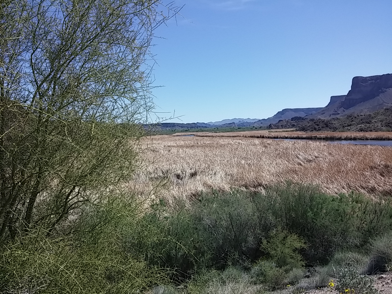
Some random shots of our drive.

0316151244

0316151223

0316151048

0316151049

Yuma Proving Ground

Lake Havasu City, Arizona

On our drive from Yuma to Lake Havasu the other day we drove through the U.S. Army Yuma Proving Ground. (None of these pictures are my own, and all of the information is from Wikipedia…)

Yuma_Proving_Ground_Sign_Tight_US_Army_011507pict6269

From Wikipedia:

Yuma Proving Ground is a United States Army facility and one of the largest military installations in the world. Situated in southwestern La Paz County and western Yuma County in southwestern Arizona, U.S., approximately 30 miles north-east of the city of Yuma, the proving ground is used for testing military equipment and encompasses 1,307.8 square miles in the northwestern Sonoran Desert.

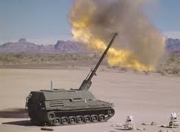
Tests are done on nearly every ground combat weapon system.

Over 3000 people work at the proving ground. Surprisingly most of these workers are civilians. The facility, the largest single civilian employer in Yuma County,  pumps over $430 million into the economy each year.

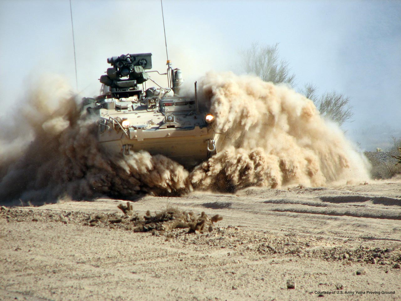
Over 500,000 artillery, mortar, and missile rounds are fired each year. Nearly 40,000 parachute drops are completed. And over 200,000 miles are driven on military vehicles.

220px-Yumaprovingground

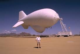
While we were driving by we saw a HUGE tethered balloon and a smaller drone circling that balloon. Turns out it’s a TARS (tethered aerostat radar system). It’s so big we saw it from Yuma, 30 miles away.

download (1)

A small amount of on-site training is done at the facility each year because it provides such a realistic desert training facility.

download

Props of villages and road systems resembling Southwestern Asia have been built and are used for testing counter-measures to the threat of roadside bombs.

General Motors has recently built a facility here after closing it’s testing facility in Mesa, Arizona, which had been in operation since 1953. The new facility cost over $100 million, and is used to test nearly 80% of the Army’s wheeled vehicles–regardless of the make.

dust

The Yuma Proving Grounds was chosen for its ideal climate and geography. The area gets about 3 inches of precipitation per year and gets at least 350 days of sunshine. It is separated from Yuma by a small mountain range, so there’s little effect on the Yuma residents.

Other countries use the proving ground including Japan, Canada, Saudi Arabia, France, and England.

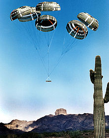
NASA has performed numerous tests at the site, particularly for parachutes should rocket launches abort.

About 18 months ago, Marine Corps free fall instructors honored one of their own by releasing a comrade’s ashes mid-air above the Phillips Drop Zone on Yuma Proving Grounds in Arizona.

MarineAshes_t700Profoundly sad, patriotic, and beautiful…

I Can See Mexico from My House!

Yuma, Arizona

We drove from San Diego to Yuma yesterday as we slowly work our way back to Boise by April 1.

As we drove along Interstate 8 we came within a quarter mile of the USA – Mexico border.

0310151224

As we drove along, I kept thinking of one of the funniest skits I ever saw on Saturday Night Live.  Tina Fey was Sarah Palin and Amy Poehler was Hillary Clinton. When talking about diplomacy qualifications, ‘Sarah’ implied she was qualified because she could see Russia from her house.

Yesterday, I kept mimicking Fey’s Palin impersonization, “I can see Mexico from my house.” Because, you see, I could actually see it and I was in my house (Homer). 🙂

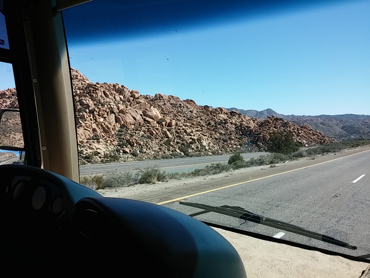
Along the drive we also saw some amazing rock formations in the Cleaveland National Forest.

0310151122

0310151104

And we saw miles of sand in the Imperial Sand Dunes area, the largest mass of sand dunes in the state .  The dunes, which start near the Salton Sea, run for more than 40 miles and average five miles wide.

download (2)

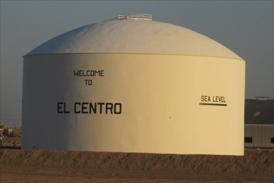
We started at an elevation of near sea level in Santee, topped out at 3000 feet above sea level in the Cleveland Mountains, and bottomed out at 200 feet less than sea level in El Centro, California…
98438ee9-4834-4433-971b-6a08cfdd31fc_d
I felt right at home in Yuma as soon as I hit the pickleball courts in the near 90 degree heat… 🙂

Ocean Fix California Style

Santee, California

I LOVE visiting the ocean! The sound of the beautiful blue and white waves crashing along the beach. The smell of the salt water. And the energy charged breeze blowing all around. What’s not to love?

We drove to visit several of the beaches in the San Diego area yesterday. It was a grand day…

First thing we saw in Mission Bay was a guy on a Flyboard. My picture didn’t turn out, so here’s a video to show what the world’s best flyboarders can do… Simply amazing!

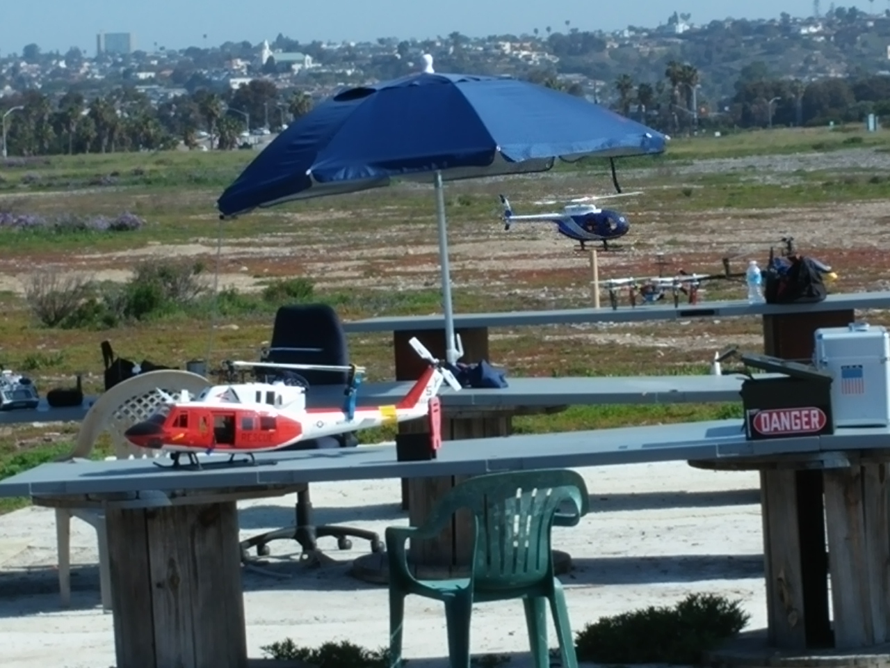
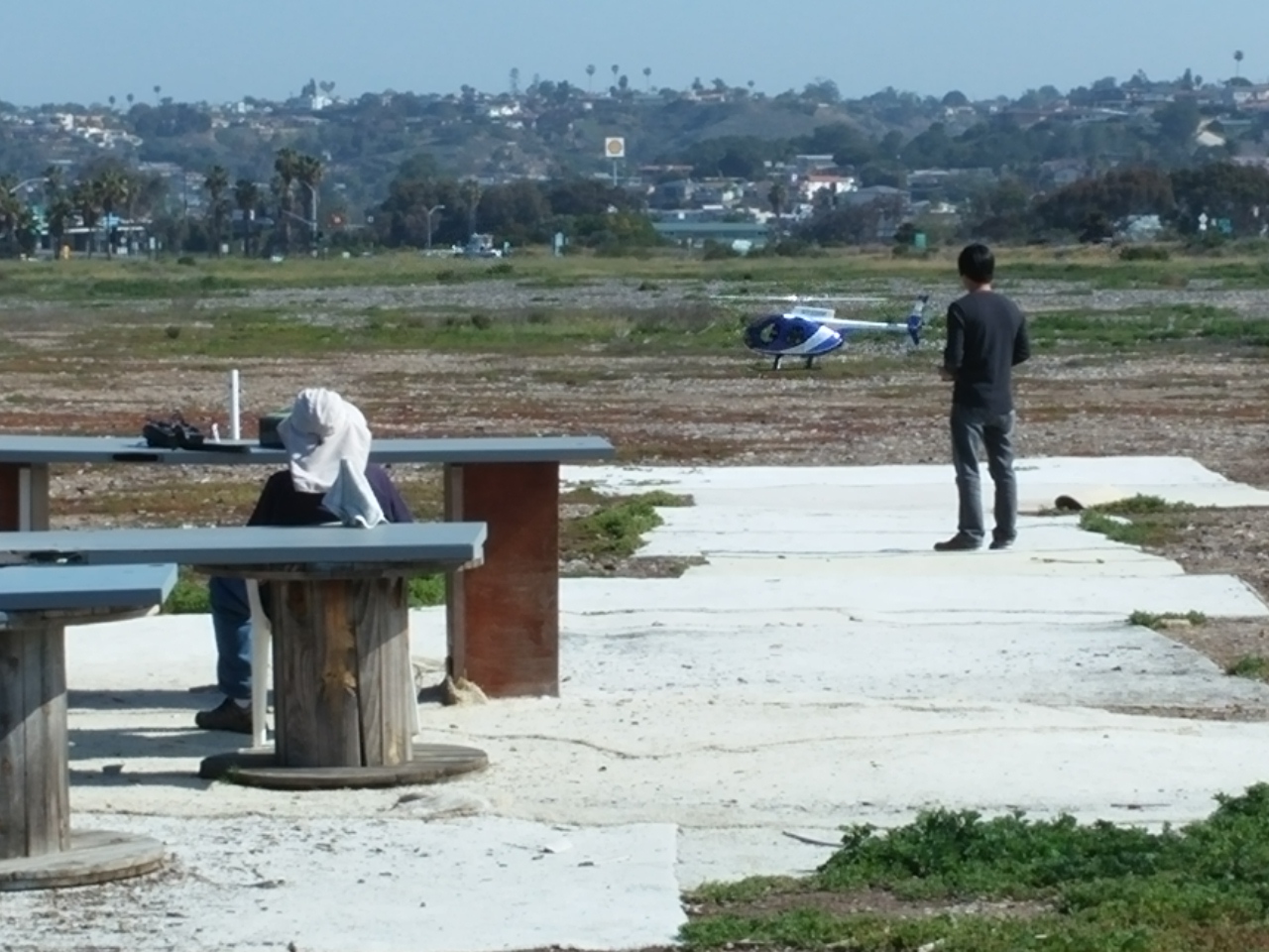
Then we came across a group of remote control pilots. They were flying everything from helicopters to gliders to drones. Again, simply amazing!

0309151042a 0309151043After leaving Mission Bay, our first stop was in La Jolla.

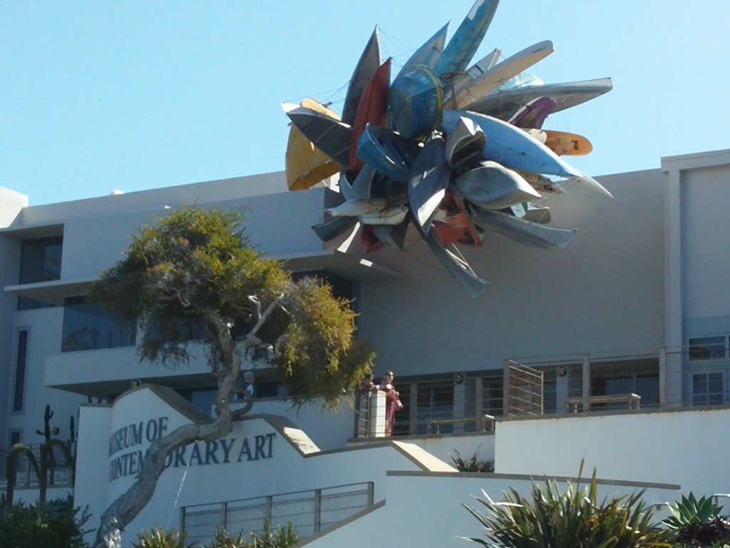
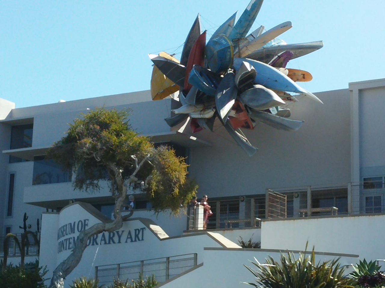
This kayak piece is outside the Museum of Contemporary Art.

0309151141

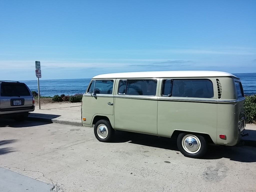
What’s the perfect vehicle to drive along California’s Highway 101? A Volkswagon bus, of course!

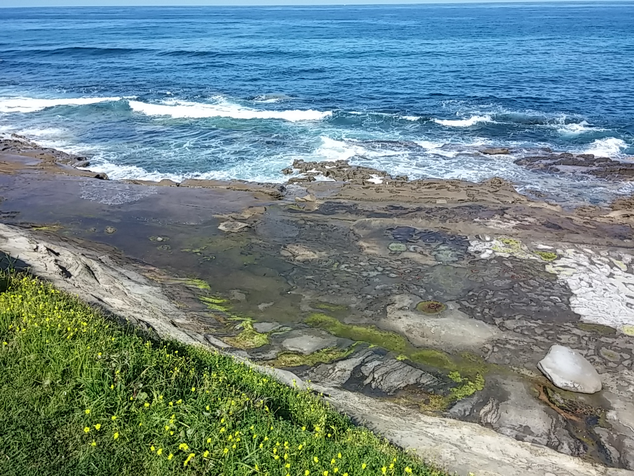
0309151128aMuch of the beach at La Jolla has a granite base, perfect for tide pools.
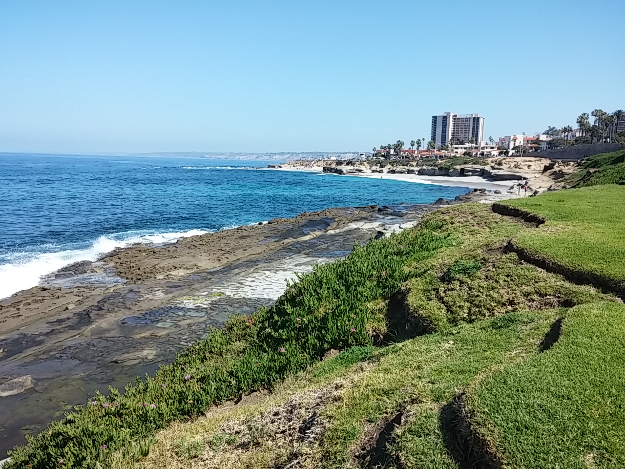
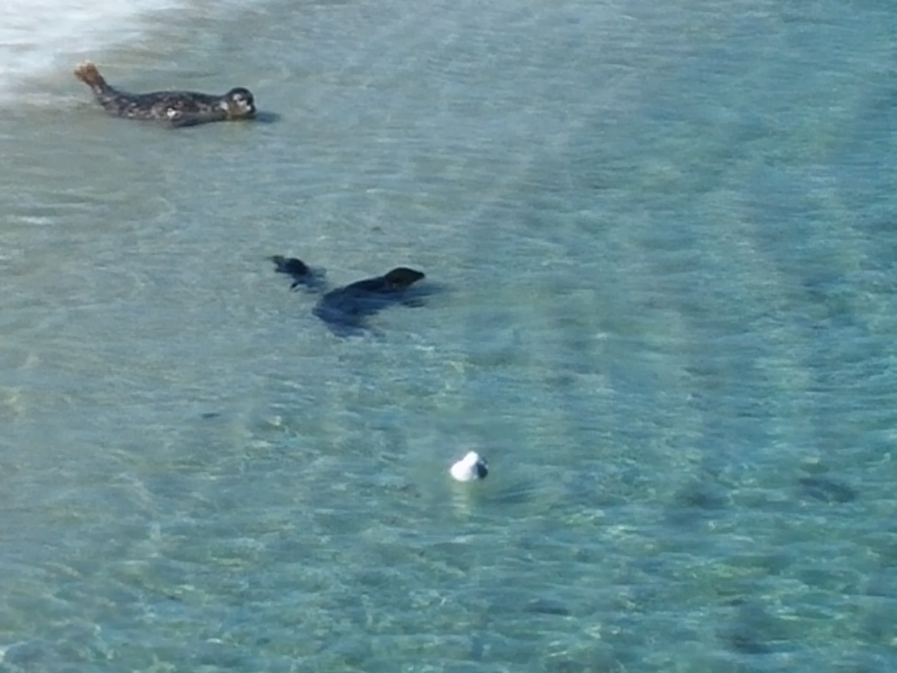
0309151123But there are stretches of sand to walk along. 0309151124aWe spotted some seals in the water and watched them for a long time. 
0309151145a

Then we walked a bit down the beach and found a cove full of them!

0309151152Including lots of babies!

0309151153

California is full of healthy people. We were passed by joggers and bicyclers galore.

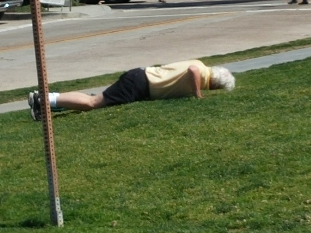
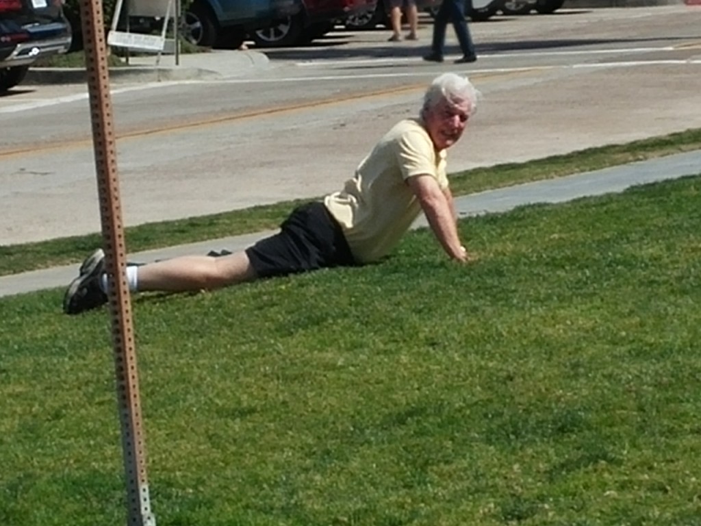
Then I looked across the street to see a man who initially looked passed out on the lawn.

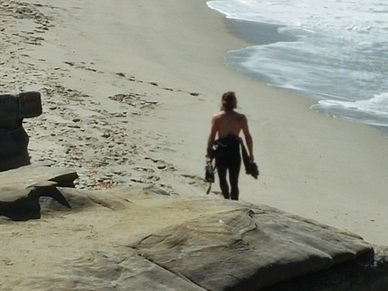
0309151200Turns out he was doing push ups! And the regular push ups were too hard, so he switched to the easier kind…
0309151200a

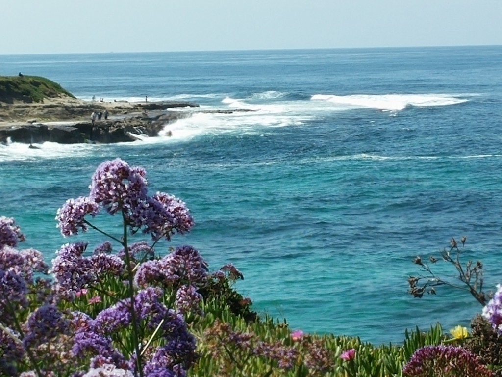
The scenery was awesome…

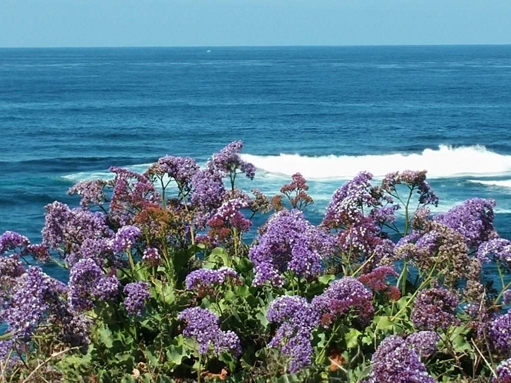
From flowers…

0309151202a

to local hunks . . .   🙂

0309151145

to more flowers…

0309151202

We stopped at several beaches between La Jolla and Carlsbad.

It was the perfect ocean fix for me.

Santee Lakes

Santee, California

We are staying at Santee Lakes Recreation Preserve while we’re visiting my sister and her family in the San Diego area.

sl

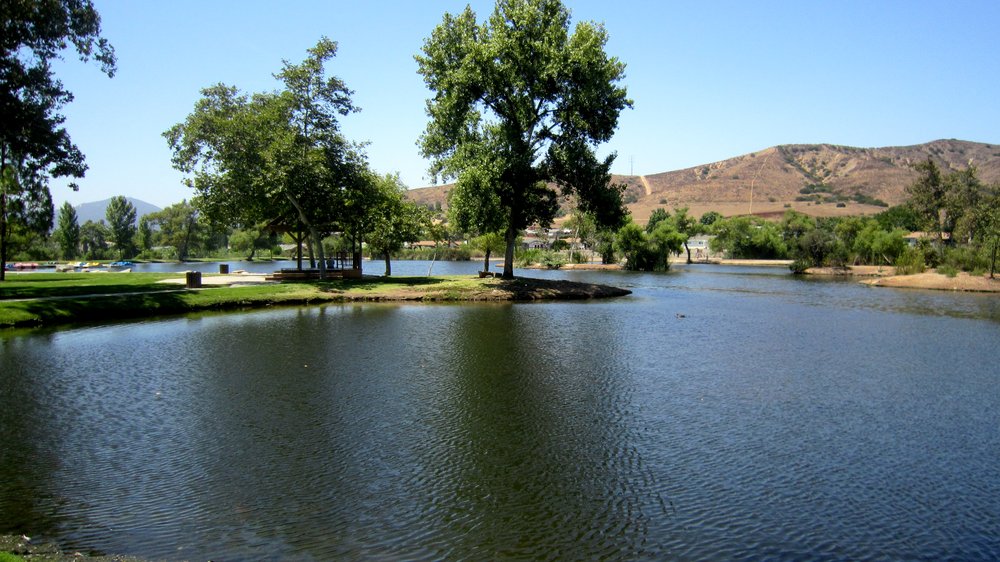
The preserve is “an award winning, 190 acre Park and Campground surrounding seven scenic lakes filled with recycled water.  The Park provides a safe and tranquil setting for camping, fishing, picnics, fitness, bird watching, boating, biking and special events in a natural environment.”

It’s a very nice park with lots of families staying for a weekend getaway close to home. I’m intrigued to see what it looks like on Monday morning.

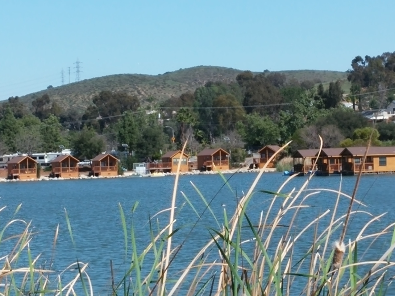
There are lots of RV and tent sites, but there are also a few cabin boats and lake shore cabins on the lake.

0308151252

It must be a good place to stay because our neighbor Joe and his wife have been here for five months! They are from Massachusetts and are visiting their children who live in the area. The park told Joe they can stay one more month and then they have to leave because California will want them to establish themselves as residents then so they can collect income tax. 🙂

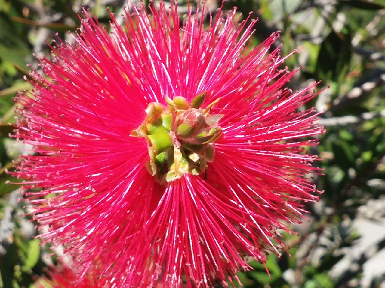
I’m always on the lookout for vibrantly colored flowers.

0308151018

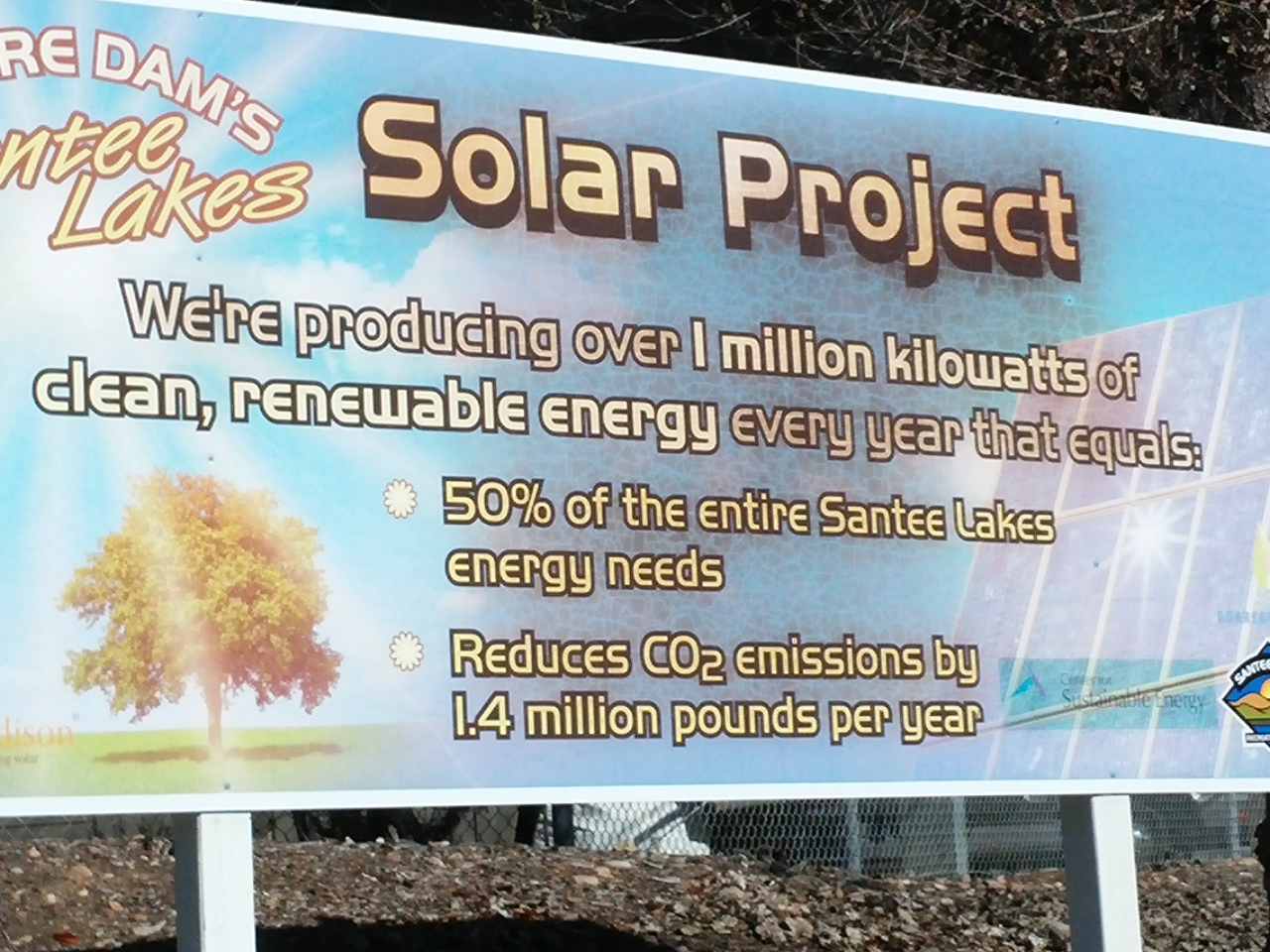
The park has extensive covered storage for recreational vehicles, and all that storage is covered with solar panels. The park generates 50% of its own power usage. That’s for over 300 sites and all of the auxiliary buildings. Impressive…

0308151012

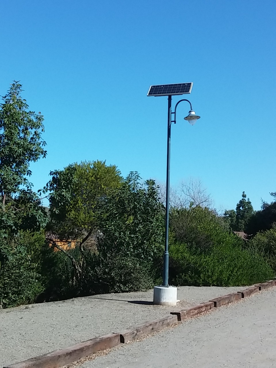
The street lamps have their own solar panels.

0308150941The park is a bird paradise. Here are a a few of the birds that I saw…

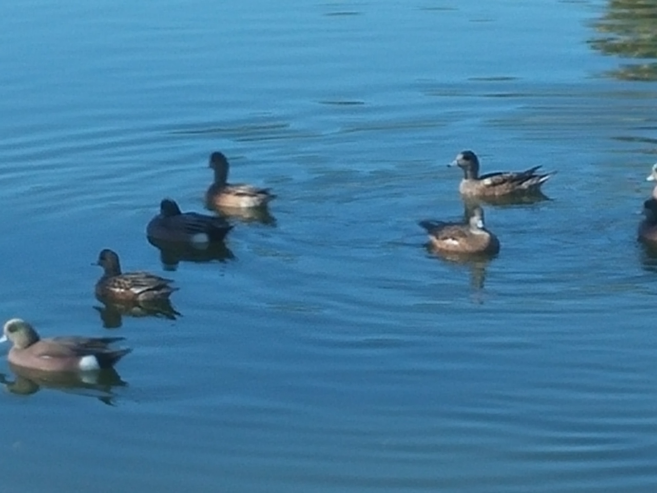
A variety of ducks.

0307150920a

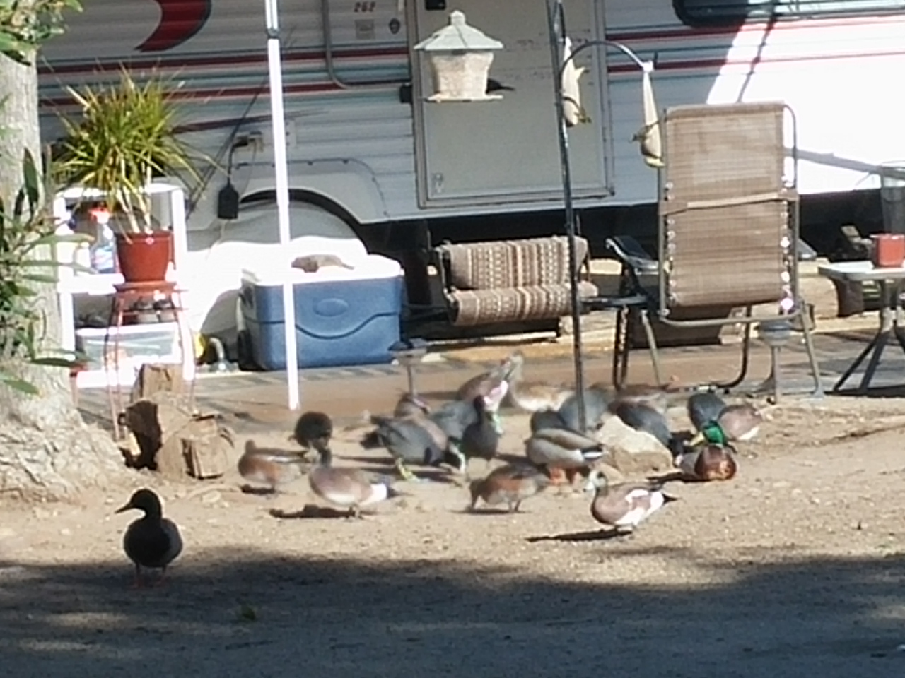
Ducks, coots, blackbirds, sparrows, and finches eating their morning breakfast at the Bird Seed Cafeteria. 🙂

0308150934

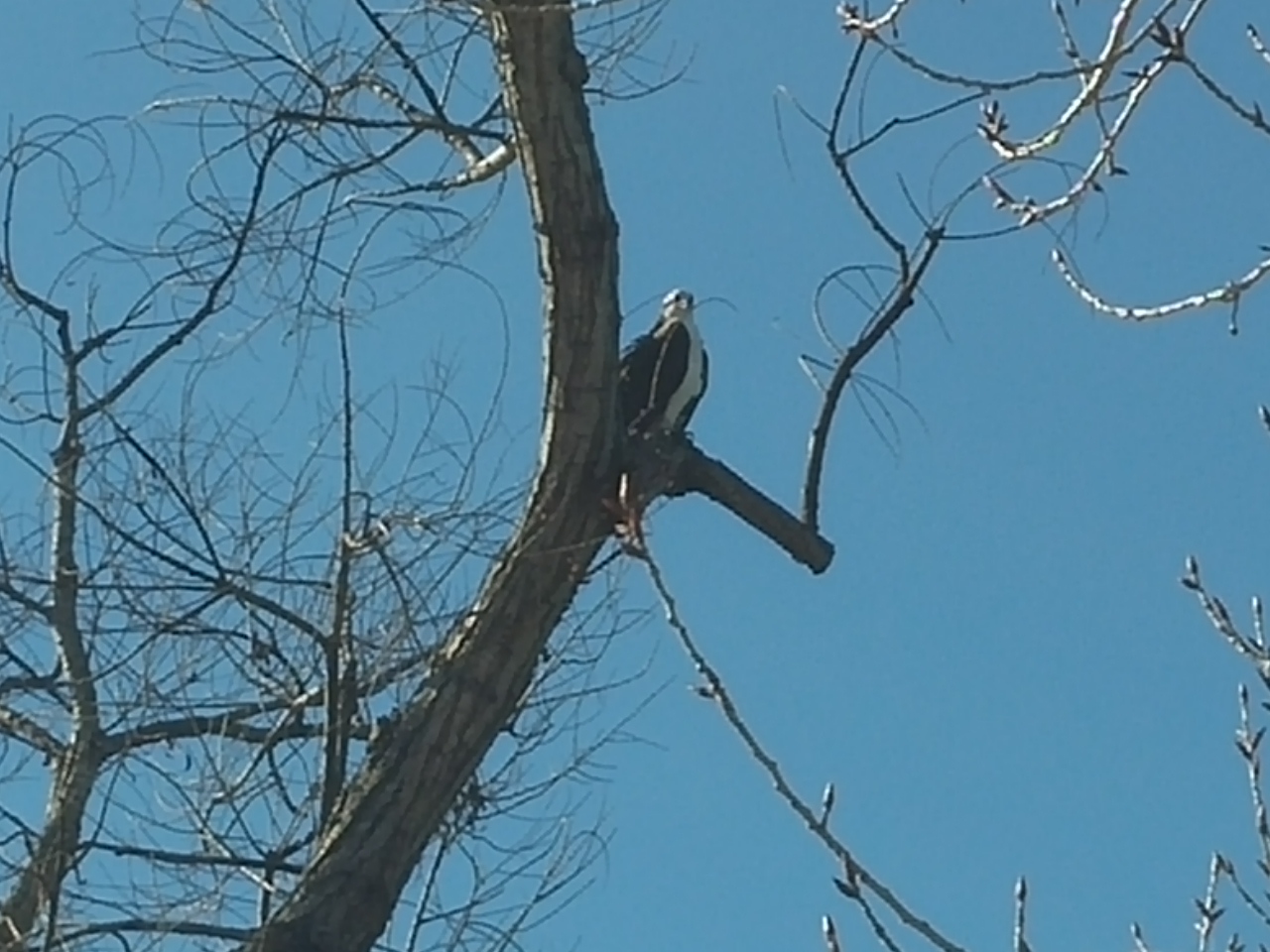
A lone osprey keeping watch.

0307150920 We were surprised at how many people fish the lakes. Within three seven lakes are channel  catfish with the largest at nearly 40 pounds, bass over ten pounds, and rainbow trout. All lakes are frequently stocked so that fishermen are tempted to return frequently.

It’s been a great spot for us to visit the San Diego area from…

Mt. Helix Stroll

Santee, California

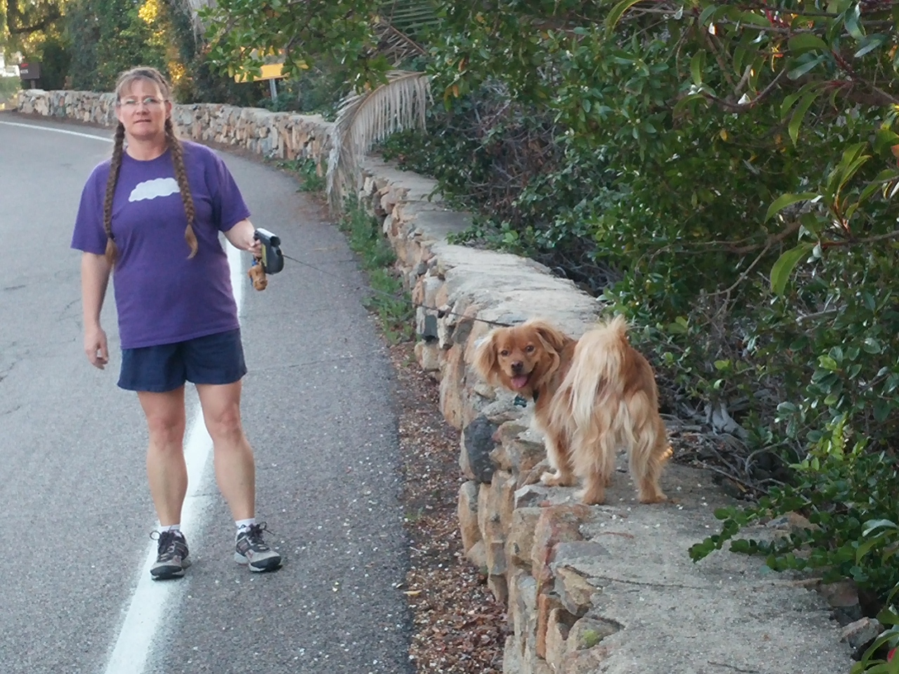
We went for a nice walk around Joanne’s neighborhood yesterday with her and her dog, Stitch.

0307151716
Stitch is a rescue dog who is most likely predominately Tibetan spaniel as shown by his love of walking along walls. Tibbies walked monastery walks as guard dogs. Stitch is keeping the tradition alive. 🙂

Here is some of what we saw…

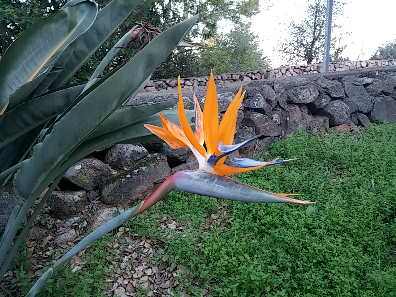
At the base of Joanne’s driveway there is a beautiful Bird of Paradise plant in bloom.

0307151711The rock wall behind the plant was made by the Civilian Conservation Corp during the Depression.

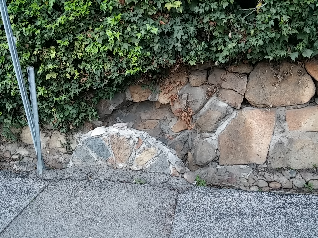
They also made this wall and the drain structure.

0307151712

Loved this “Be Happy” sign in a neighbor’s garden garden.

0307151713

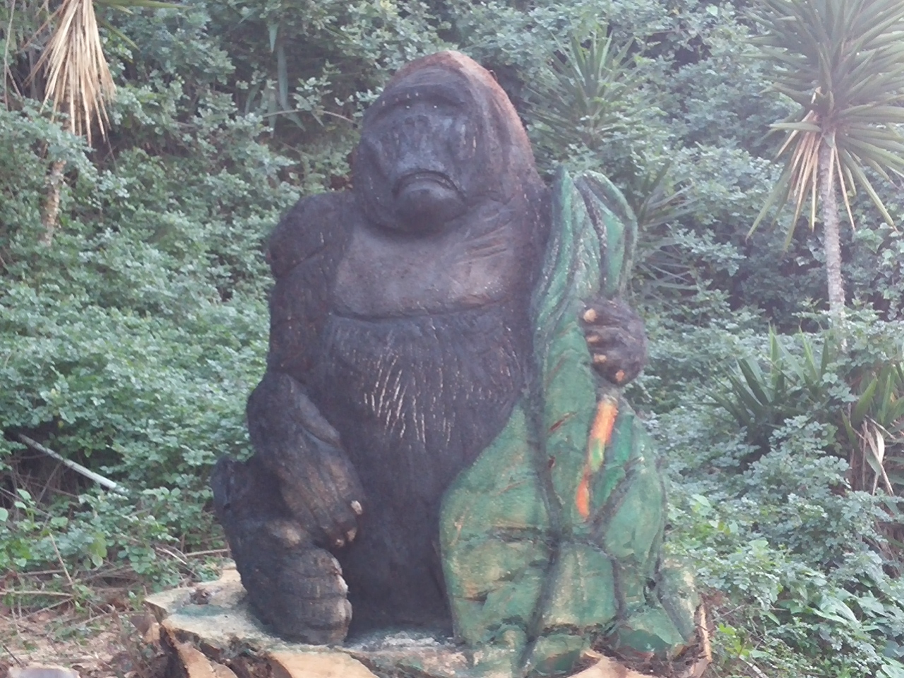
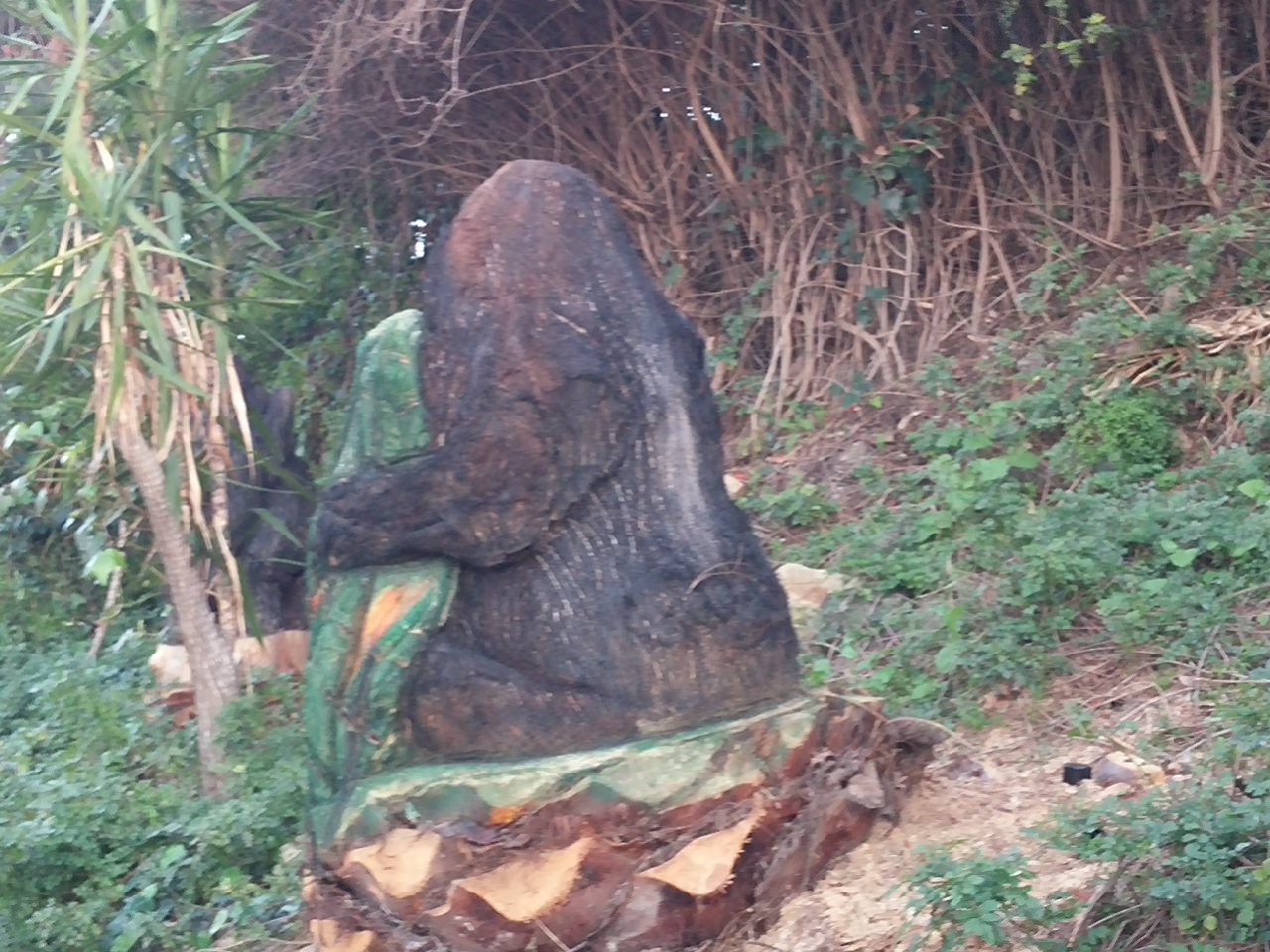
Another neighbor is carving statues out of palm tree stumps. He’s doing a wonderful job as shown by these photos of a silver back gorilla.

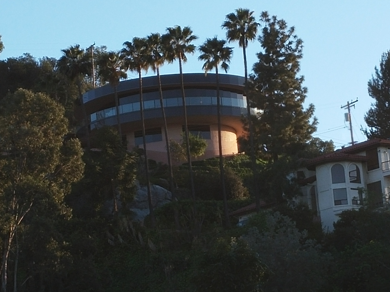
03071517220307151722aThis neighbor’s house is very unique in that the top level rotates around similar to the top of the Seattle Space Needle.

0307151719

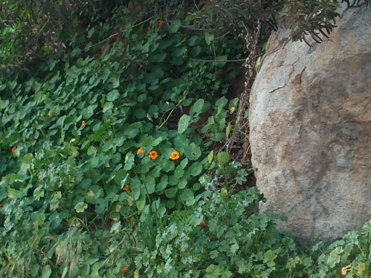
Nasturtium grows like colorful weeds.

0307151725

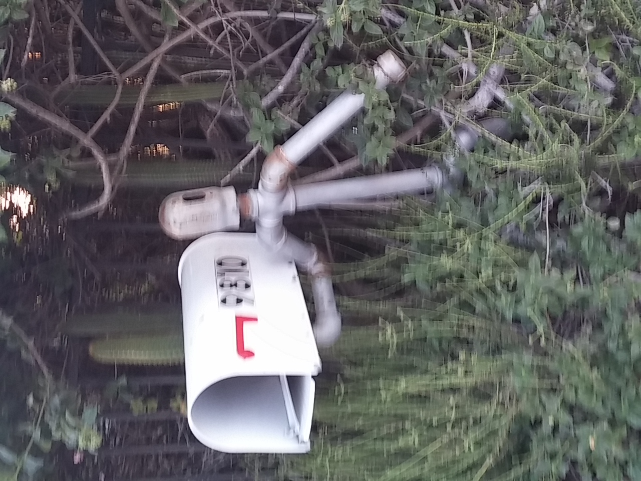
Loved the pipe man holding the mailbox.

0307151727
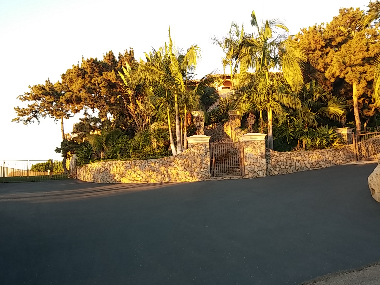
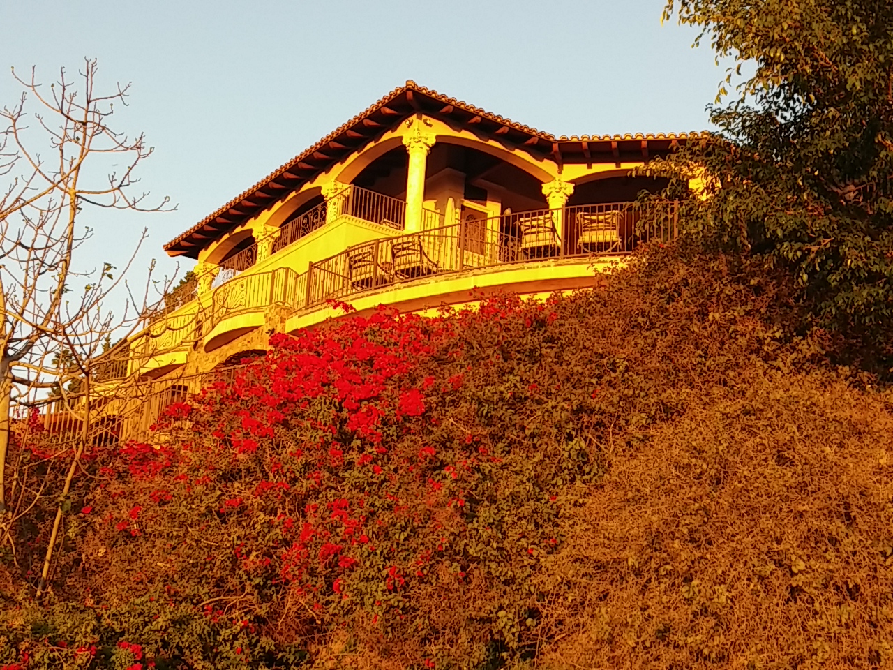
This beautiful home sits near the top of Mt. Helix. It is owned by the people who founded the stores that later became known as Sprouts markets.

0307151732

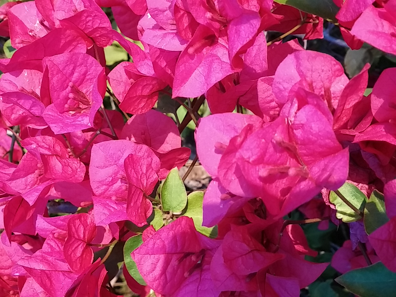
0307151733The Bougainivillea  was in high bloom.

And here are a few more photos of the flora we saw…

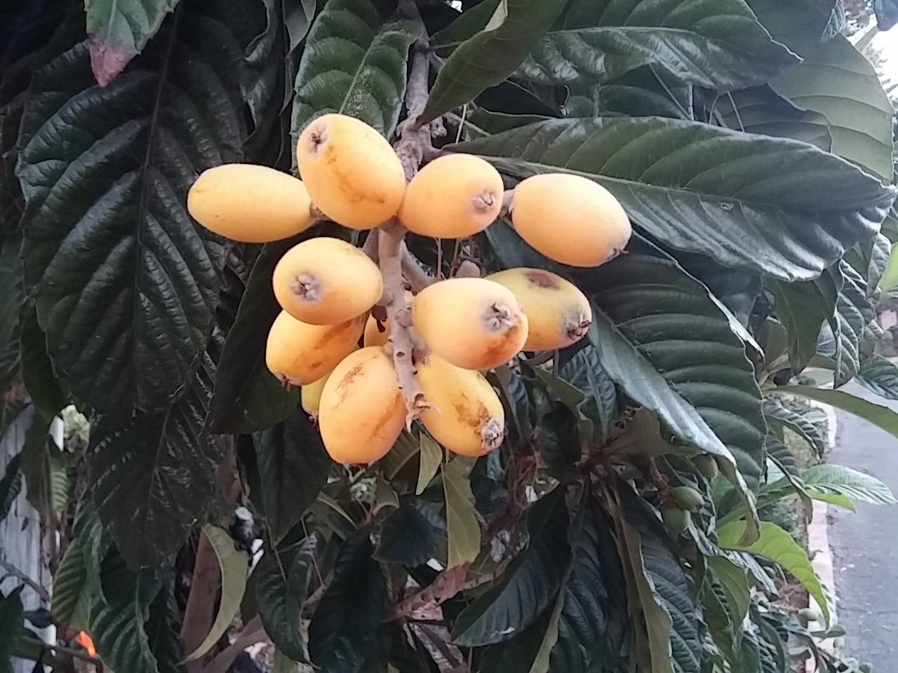
I think this is lumpquat. (Update: loquat)

0307151742

Bougainvillea close up.

0307151733a
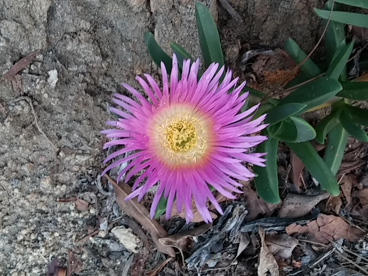
Ice plant in bloom.

0307151728
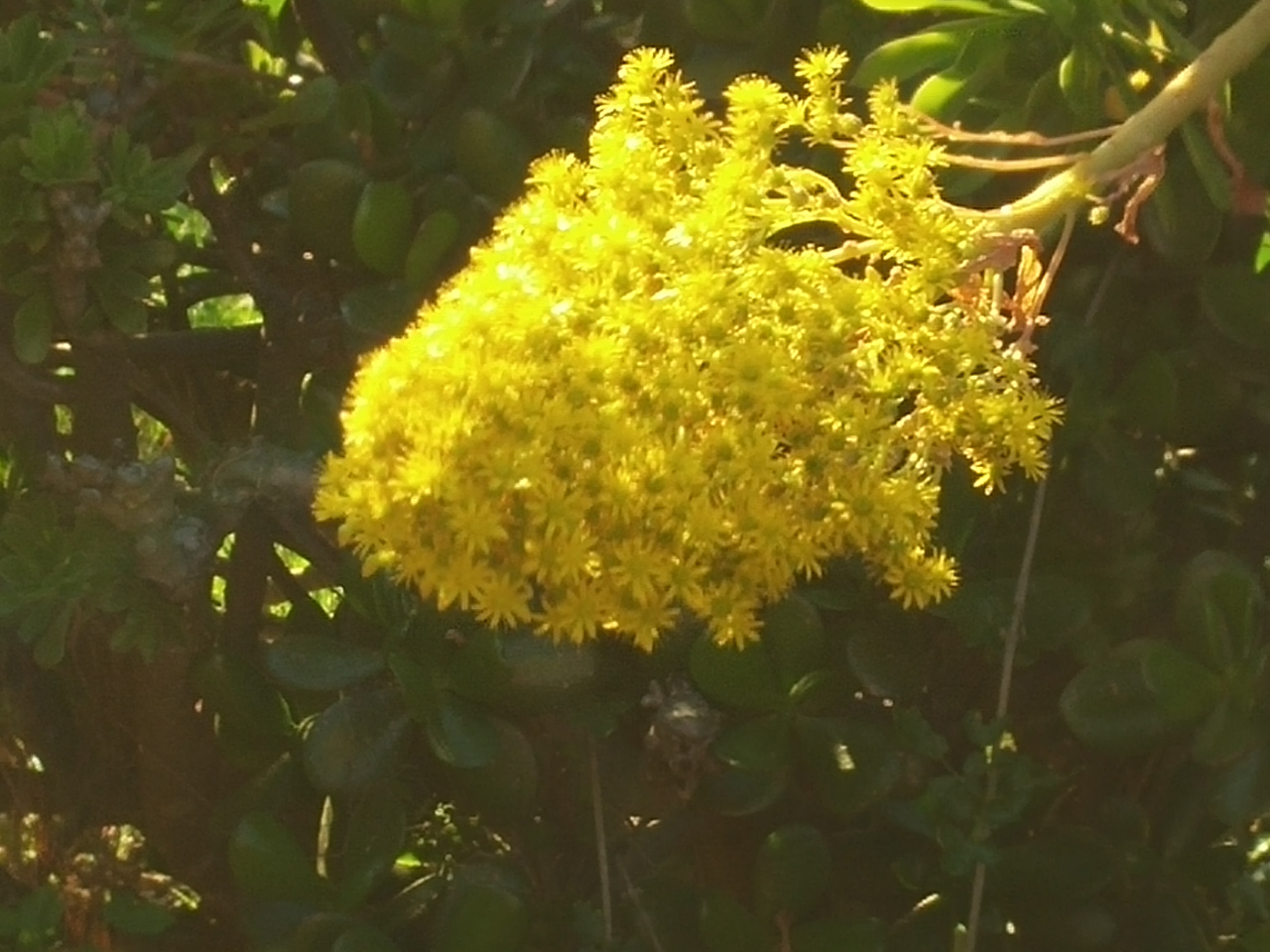
Not sure what this is…

0307151718
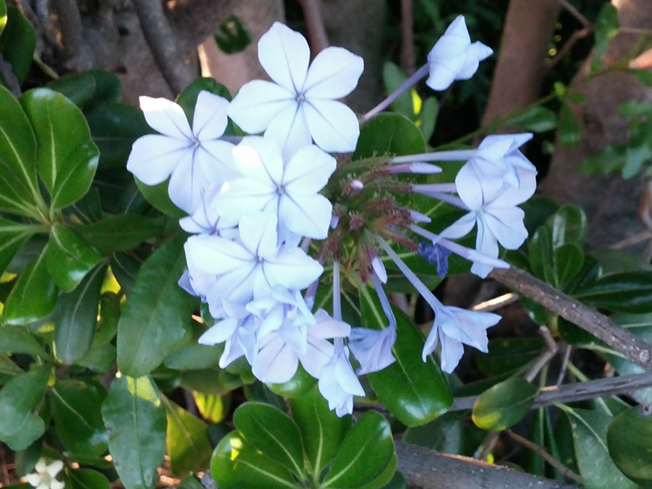
Not sure what this is either, but it reminded me of the stephanosis bouquet I  carried on my wedding day.

0307151717

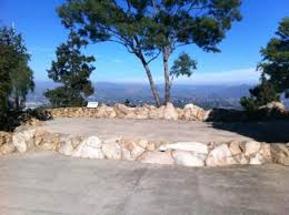
Joanne and her family live on Mt. Helix. The top of the mountain offers 360-degree views to Mexico, downtown San Diego, the surrounding mountain ranges, and the Pacific ocean.

images (2)

It was a great tour of the neighborhood especially with Joanne as our tour guide. 🙂