Bedazzling Bryce Canyon

Panguitch, Utah

Wow! And double WOW! We visited Bryce Canyon yesterday. It is simply amazing!

First stop? Sunrise Point at 8015′ elevation. Highest place we visited in the park? Rainbow Point at 9115′.

0326151052

A little Bryce Canyon information from the park brochure, and then I’ll just let the pictures speak for themselves…

Weathering and erosion shape these statuesque rock features, but unlike many places, flowing water only plays a minor role in this story. As snow and ice melt, water seeps into fractures. As it re-freezes, it expands and cracks the rock around it. This common process of frost-wedging happens with uncommon frequency at Bryce Canyon.

About 180 days a year temperatures swing widely between freezing nights and warm afternoons. The combination of gravity and meltwater causes soil creep, moving the stone fragments downhill. Rain from summer thunderstorms further dissolves the limestone into a clay ooze and generates just enough flowing water to help remove the debris. 

03261513440326151343a

These caverns are all on the same horizontal plane because the rock is the same at that level. Notice there are no caverns below that level where the rock is the same color. 03261513390326151338

The cliffs and bulbous columns are called hoodoos. Legend has it that the hoodoos are ancient people who took too much from the land who were cursed and turned to stone.

0326151336Notice the small arch in the middle of the rock. 
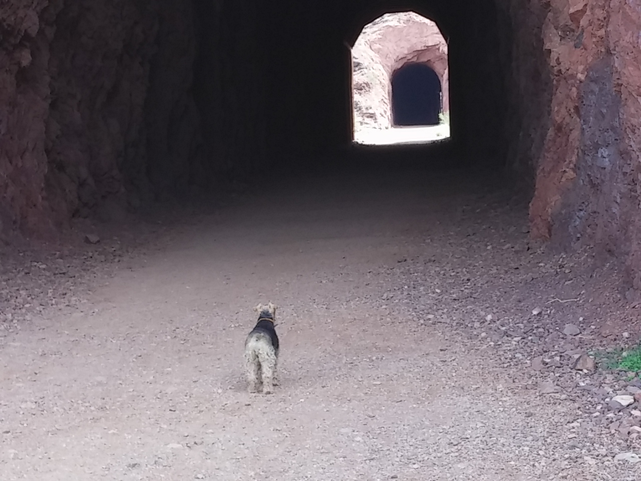
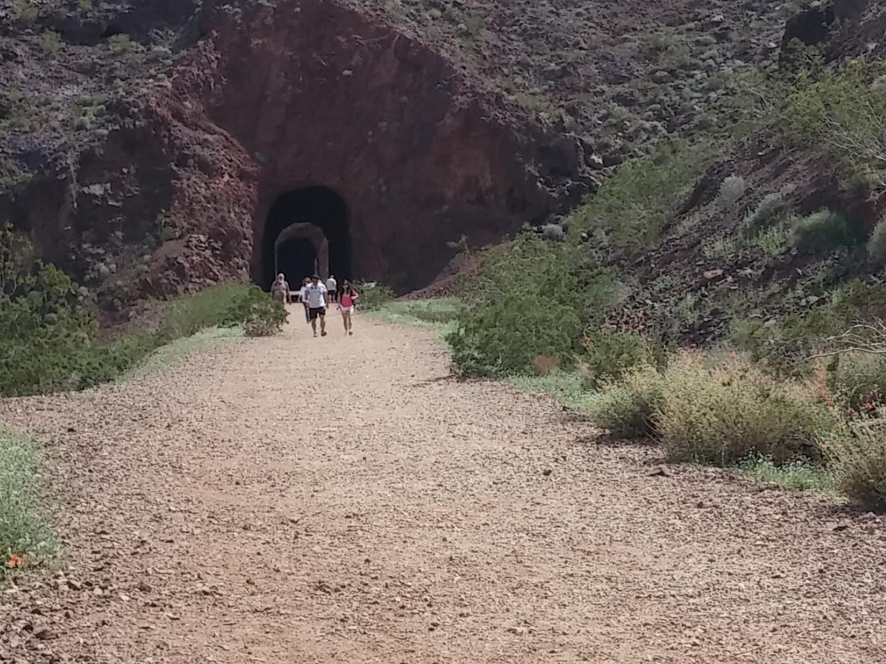
0326151229

It’s big country…032615121803261512120326151210

This arch is called the Natural Bridge.

0326151141I like the contrast of the pine and fir trees against the canyon backdrop.

0326151335a03261511120326151111

0326151054I don’t think I would have found the canyons nearly as stunning without the  white contrast from the snow. 
0326151104a03261511000326151059bLook really closely in the middle of this picture. You’ll see a trail that goes up through a crevice in the rocks. Just before that crevice, you can see four teeny-tiny hikers!

0326151358

And we finished off the visit with a view of about a dozen mule deer does! Doesn’t get any better than that…0326151409b

A few more random shots from our visit…

There should be LOTS more snow here…

0326151205

And this signage reflects much of what’s happening across the west–not enough water!

0326151208

Rich’s comment about this guy? “You can’t fix stupid!” 
0326151216a

Snowbird Snow Shock!

Panguitch, Utah

We drove yesterday from St. George to Panguitch, Utah. It’s only a little over 100 miles, but, for snowbirds like us, the distance was more like light years because we went from early summer-like weather to SNOW in a matter of minutes!

It’s a beautiful drive. The St. George area is difficult to describe. It’s a series of valleys with small ranges in between and each valley and range is very different…

0325151020

0323151354b

As we drove out of the area, the rocks and mountains got bigger and taller.

0325151128

All of a sudden, we saw SNOW! It’s been months since we’ve seen this much snow this close! And the contrast with the red rocks makes the snow pop out even more. 0325151137 0325151135

Just as we got used to the red rocks, we were in tan rocks. 0325151128a0325151040aWe ended up in the small town of Panguitch. It’s our base point for touring in and around Bryce Canyon National Park.

Panguitch is a Native American word meaning big fish. The pioneers first settled the valley in March, 1864. The first winter was exceptionally cold and hard. Crops had failed; people were hungry. Seven men braved the elements to get flour in Parowan, 40 miles away, over what is now Highway 20. The snow was so deep that they had to abandon their oxen and wagon. They were able to reach Parowan by placing a quilt on the deep drifts, walking to the end of the quilt, and then placing another down, and retrieving the first.

This became known as the Panguitch Quilt Walk, and it is still celebrated in the town.

0325151617 0325151616 0325151616aCloseup of the quilt. Beautiful!

0325151616b

The town was abandoned during the Black Hawk War and resettled in 1871. A brick factory was built and people in the community worked in the factory. They weren’t paid with money; they were paid with bricks. Many of the large brick homes built are still standing today.

0325151428All of Panguitch City is listed as a historic district in the National Register of History Places. 

0325151628a

0325151628

We drove out of Panguitch on Highway 143 to try to get to Cedar Breaks National Monument.

I’ve never seen a highway sign like this. Made me giggle… A lot of people must take the wrong turn on Highway 89 when it runs through Panguitch…
0325151611b

On the way up to Cedar Breaks, we passed some amazing scenery.

0325151553

Including Panguitch Lake, completely frozen over.

0325151455

I wish we would have counted the number of LDS churches we have seen in Utah. A few days ago we saw two on the same block. This one up in the mountains is the first one I’ve seen that has a mountain theme to it. 0325151545

Views of Cedar Breaks National Monument area. This is as close as we could get…0325151526a

0325151524b

0325151526

…because the road into the actual monument is closed because of snow. 0325151525Sophie had a blast playing in the snow at several stops along the way!
0325151524Nothing feels as good as a roll in the snow! 🙂 
0325151456

It’s a Small, Small World

St. George, Utah

I’ve been amazed several times and in several ways as we’ve been shown how small the world is.

download (3)

Here are a few examples.

Last week we were parked next to a couple from Boise while we were staying in Boulder City. Rich chatted with them a bit and found out that they travel from mid-March through through mid-October.

The next day we toured around Hoover Dam for a few hours. Then we got back on the Interstate and after a few miles, guess who passed us? Yep, the same couple driving on to their next overnight location.

Rich recognized their rig. I recognized their BSU Bronco wheel cover.

download (4)

That’s actually happened a couple of times. We’ve also run into the same RVers at parks hundreds of miles apart, in different states and arriving there by different routes.

I have also discovered that it’s a small, small pickleball world.

download (2)

We stayed at one resort in Phoenix for a month. Since then, I have run into two different players that I met and played with there: one in California as he and his wife were driving back to eastern Canada and one in Utah after returning to her summer home. What a nice surprise to reunite with them.

images

Then yesterday I ran into a couple I used to play with in Boise. We ended up at the same pickleball facility out of at least six here in St. George yesterday morning to play. We got there within five minutes of one another even though there is no structured time to begin play.

I found out later that they went to watch at a different park that I had played at on Monday morning, but I left just before they came. It was so very fun to see and play with them.

2011 011

It It truly is a small world and an even smaller pickleball world.

Zion, Part Two

St. George, Utah

Zion National Park is a bit unique in that there are two parts to the park.

Most people enter the east or south entrances of the park and drive to the other…0323151156

There is a shorter in-and-out drive in the north western section of the park called The Kolob Canyon.

0323151223

While not as diverse as the other side of the park, the Kolob Canyon is stunning.

0323151209

It’s easy to look at the massive rocks and think they never change, but this display proves that thought wrong.

0323151215

The drive is about 30 miles north from St. George, and we’re very glad we did it.

0323151156

At the risk of sounding silly, I named this split rock “Plumbers Butt” because it reminded me of too many subcontractors’ behinds over 30 years of construction…

0323151216

And right along the silly line, this ‘art’ sculpture in the small town of Hurricane was the subject of a local news story the same  night we first saw it.

download

promo251351986

0323151324a

When we drove past the statue, I commented that the bull’s genitalia seemed disproprtionally large.   Apparently that’s what many town members think, too, and they want the city to force the owner to remove the statue.

This story even made national news...

The restaurant owner, who spent $130,000 on the piece, said all those who object to the statue are “just jealous.”

Now there’s a petition to deny the owner his liquor license. So far over 500 signatures have been collected.

I love small towns so long as I don’t have to live in them! 🙂

Amazing Zion

St. George, Utah

We toured parts of Zion National Park the other day.

Wow! It’s an amazing place.

We weren’t able to do the scenic canyon tour because it’s only open for bus tours and we can’t take Sophie on it, but we still were amazed with all we saw.

First off, here are my last pictures from the park. We at our picnic lunch from under this tree with these spectacular views.

0320151313

0320151236c

This is the road we drove up and down. In the middle of the drive is a tunnel that’s over one mile long. Thankfully, there are holes letting sunlight in periodically because the dark can get a bit overwhelming. 🙂 0320151236b

Stunning just doesn’t begin to describe the vistas…0320151236aIn addition to all the beautiful rock formations, we are back in PINE TREES–my favorite flora!

0320151225a 0320151225

Just a beautiful drive…0320151214a

Here are some closeups of what the wind and water have done to the sandstone. 0320151214
0320151213 0320151212a

0320151211a 0320151211

Almost too much to take in at once. 0320151210

This is called the Checkerboard Mesa. The vertical lines are caused by wind etching the layers of sandstone. The horizontal lines are more rare, and they are caused by water seeping into cracks and then expanding. 0320151203

The diversity of colors is just amazing!0320151202

I think they added red dirt to the asphalt mix because the roads within the park are tinged with red. 0320151156Sophie enjoyed Zion, too!

0320151213a

Hoover Dam + Bypass Bridge

St. George, Utah

The other day we toured around Hoover Dam and walked across the new Hoover bypass bridge.

Hoover Dam

We actually didn’t do the tour because we had done that many years ago when our kids were younger at one of Melissa’s softball tournaments.

Hoover Dam, once known as Boulder Dam, is a concrete arch-gravity dam in the Black Canyon of the Colorado River, on the border between the U.S. states of Arizona and Nevada. It was constructed between 1931 and 1936 during the Great Depression and was dedicated on September 30, 1935, by President Franklin D. Roosevelt. Its construction was the result of a massive effort involving thousands of workers, and cost over one hundred lives.

0318151034

It’s mind boggling to think that it was built in five years!

0318151036

The white ring is a high-water mark called a “bathtub ring” shows the original shoreline of Lake Mead. The bathtub ring is white because of the deposition of minerals on previously submerged surfaces.

Lake Mead is distressingly low. It reaches its last peak in 1998 at an elevation of 1215.76. Top capacity is 1299. Currently it is at 1,112. On July 11, 2014, it reached its lowest elevation since the dam was constructed at 1,081.77.

The contrast of the bathtub ring against the red and brown rock is stunning.

0318151106a

The picture below is for one of the spillways. It’s huge when compared to the fifth wheel travel trailer parked nearby.

0318151107

Mike O’Callaghan–Pat Tillman Memorial Bridge

Opened in 2010, it was the key component of the Hoover Dam Bypass project, which rerouted US 93 from its previous routing along the top of Hoover Dam and removed several hairpin turns and blind curves from the route. It is jointly named for Mike O’Callaghan, Governor of Nevada from 1971–1979, and Pat Tillman, an American football player who left his career with the Arizona Cardinals to enlist in the United States Army and was later killed in Afghanistan by friendly fire.

The bridge is a stunning engineering feat. Here it is as seen from Hoover Dam.

0318151056a

Pedestrians can walk across the bridge. Here’s the state line dividing Nevada and Arizona.

0318151029
And here is the Apex of the Arch point on the bridge. 

0318151039When we walked to the end, Rich noticed how much the bridge expands and contracts, indicated by two marks. Look at the top railing near the middle and you’ll see about a four inch black spot. That’s where it’s rubbing against itself. You can see a similar mark on the bottom joint.

0318151035

It’s just a beautiful bridge! 
0318151106

Historic Railroad Trail

St. George, Utah

While visiting the Hoover Dam the other day, we happened upon a great hike.

It’s The  Historic Railroad Trail, originally used to transport materials while Hoover Dam was under construction.

It’s a 2.3 to 3.7 mile trail (one way depending on how far you go) which takes you through 5 tunnels with sights of Lake Mead with a final stop with a sight of the Hoover Dam if you go to the end. There are great views of Lake Mead, and informational kiosks explain the history of the railroad and tunnels.

The highlights of the trail include five tunnels. These tunnels are a whopping 25′ in diameter. They needed to be that big to accommodate the large loads transported to the dam site.
0318151216

Timeline & Facts 

1931: Lewis Construction Company began construction under Bureau of Reclamation.
1961: Last year railroad in use.
1962: Tracks dismantled and sold for scrap.
1984: Nominated to National Register of Historic Places.
Length: 3.7 miles from trailhead to Hoover Dam Parking Garage.

You can see the size of the tunnels as compared to the hikers.

0318151212
Only a few of the entrances are shored up with timber.
0318151218
I love how you can see the exit of one tunnel from the entrance of another.
0318151315It’s hard to imagine the difficulty of blasting the rock and creating the railway lines.

indianworkers

And at the end of our hike, a HUGE lizard. As near as I can guess, this is a Chuckwalla lizard. This one was about 12″ long, but they can grow to 16″. Yikes!
0318151341bAnd I always wonder if lizards look at us and say, “Hideous, just hideous!” 🙂


Best Street Banners Ever

St. George, Utah 

We have passed through hundreds of cities on our journey, and I love to look at the different ways cities and towns decorate with signage.

Last week I saw a series of banners in Bullhead City, Arizona, that brought me to proud and beautiful tears.

5379b28e760ed.image

The program to spotlight active military members was initiated by a group of mothers who have children in the military.

Tri-State Military Moms

Shortly after 9/11 the Tri-State Military Moms was founded by a small group of local moms from Needles, CA, Bullhead City, AZ, and Laughlin, NV, to help support our troops!!!

53448b4bbbba7.image

The Bullhead City Area Military Recognition Program was created through a partnership with the Tri-State Military Moms, Inc., the city of Bullhead City, and the Arizona Department of Transportation, to honor and recognize active duty military members of our community. Banners will display the official military photo of the service member, name and branch of the United States Armed Forces.

Isn’t that the most wonderful idea for street banners?

How great would it be if every city in America did that?

BoUs5s5IAAAF9gA

Bootleg Canyon

Boulder City, Nevada

We crossed into our 12th state recently. So we’ve stayed in one-quarter of the lower 48 states. Amazing…

We went for a short hike in the River Mountains area near Boulder City.

0317151543

There’s a great mountain bike park that’s perfect for a hike. It’s called Bootleg Canyon.

0317151638

As you can see from the legend above and map below, it’s an amazingly complex set of trails with lots of challenges.

0317151638a

The area of the park leading to the trails was exquisitely designed with stunning rock formations and a wide variety of mostly native plants.

0317151633aNo motorized vehicles are allowed in the park. 🙂

0317151614

Sophie found a treasure: a small desert tortoise.

0317151600

She only sniffed it once and then thankfully let it be. It was teeny tiny- -about 3″ long. They are endangered and protected. I took my picture from at least six feet away as it slowly crawled away.

One of the things that surprised me in the bike park was the use of wood to create props for people to ride over.

0317151549a

There were ramps and bridges. I’m sure the riders appreciate and use them.

The area reminded me of a place near where I used to live in Reno before turning ten.

Carol and I used to spend hours at “Lizard Country”–a pond about half a mile down the street. We caught lizards using sticks and dental floss with a special knot our dad taught us to make.

We caught tadpoles and kept them in special buckets with rocks and water, watching their metamorphosis into frogs.

And we had a blast!

Burro Bonanza

Boulder City, Nevada

While exploring around Lake Havasu the other day, we were lucky enough to come upon a couple of dozen burros.

Oh my goodness… They are so gosh darned cute!

0316151105

The Wild Burro was first introduced into the Desert Southwest by Spaniards in the 1500s. Wild Burros have long ears, a short mane and reach a height of up to 5 feet at the shoulders. They vary in color from black to brown to gray.

0316151105a

After researching them for this post, I learned that burros are especially suited for life and work in the desert. They can tolerate a water loss as much as 30% of their body weight. And they can replace that loss with only five minutes of drinking. (Humans require medical attention if 10% of body weight is lost to dehydration and require a full day of intermittent drinking to replenish this loss.)

0316151113b

According to a Bureau of Land Management site, there are just over 8,000 wild burros in the western United States. Over 4,000 of those live in Arizona, and almost 2,000 live in California. Just over 300 live in Utah, and just over 1,500 live in Nevada.

0316151207a

We saw five burrows in Arizona a few weeks ago and about thirty in California the other day. So by my calculations, we saw less than 0.25% of the Arizona burros and a whopping 1.5% of the California population. Amazing…

0316151207

They were so plentiful that the groundskeepers for this golf course don’t even have to mow! 🙂 0316151206

This burro and Sophie were having a stare down. The burro won. 0316151114

This one was the cutest one we saw. I think she’s old because her fur is very long. Just look at her eyebrows.

0316151113c
I swear if I see any more burros they are going to replace my favorite animal to see in the wild–buffalo! 

OLYMPUS DIGITAL CAMERA

Maybe I can have two favorites, right?