Category Archives: Places

Cherries, Cherries, and More Cherries

Polson, MT

We’re in Polson, Montana, which is at the bottom of Flathead Lake.

Aside from being incredibly beautiful, the area is known for its cherries.

Farms grow both Rainer and Flathead cherries. Rainers are yellow and more subtle in flavor. I’m not sure if Flatheads are bing cherries or another type. All I know is that they are spectacular!

20100917174831131512000000-o

download (2)

The area offers an ideal climate for cherry growing. It’s at 3000 feet, and the summer has long warm days with cool nights.

I’d write more, but we’re taking a bike ride to get some cherry pie!

Jaw Dropping

Columbia Falls, MT

Drove across Glacier National Park today on the Going to the Sun Road.

There’s no other way to describe the scenery, geology, and topography other than Jaw Dropping Gorgeous!

Most of the rock is rather shale-like as compared to solid granite.

0728141110

It’s just BIG country…

0728141156

Can’t get over how green it all is for the end of July.

0728141155_20140728171158075

This little ground squirrel kept teasing Sophie while we were talking with a Canadian couple on their way to Sturges on their Harleys.

0728141159c

This is a picture of The Weeping Wall and what’s so amazing about this photo is that there are no cars on the road. 🙂 No small feat for a beautiful summer day…

0728141154a

It’s just an amazing place.

The River Wild

Libby, MT

Went for a short drive up to Kootenai (coo-ten-ee) Falls this morning.

There’s something about moving waters, especially waterfalls, that are just so energizing and cleansing. These were no exception. They are the largest undammed falls in Montana.

0725141038a

0725141043bI kept thinking that the falls looked familiar. Later I read that parts of  Meryl Streep’s movie “The River Wild” were filmed there.

We hiked downriver a bit to The Swinging Bridge. It’s a suspension bridge directly over the river.

0725141107

From far away, I kept telling myself that I couldn’t walk over it. I’m not obsessively afraid of heights… I just really don’t like them.

We passed another couple who had just visited the bridge, and I asked them if they ‘did’ it. They giggled and said they made it one quarter of the way across.

I gave myself a little talking to as we approached the bridge and decided what the hell… Just Do it!

Rich and Sophie went first. I can believe how that dog will try anything. The only thing she is afraid of is our Dyson vacuum cleaner. (Hat on backwards because it was windy, not because he’s trying to look cool. 😉 )

0725141105

I went next, holding on to the cable tightly like that would help somehow…


0725141108a

Pretty thrilling to face my fear and try something new.

After we crossed it TWICE (because there’s no other way back), we ran into a couple from Germany on their way to try it.

He asked if we ‘did’ it. I told him “Yes!” and gave him a high five. He said, “But I haven’t done it yet!” I said, “But you will!”

A few more random pictures…

0725141049a

0725141041b

Deer Neener Neener

Libby, MT

We’re in Libby, Montana.

It’s gorgeous here. Of course, because it’s cloudy, I’m even more awed by its beauty.

I went for a jog and one of the locals told me about a paved trail. “Go down this street, climb through the hole in the fence by the high school, and turn right. You can’t miss it.”

Always up for an adventure, Sophie and I took off. Just before we stepped through the fence hole, I looked up to see a small spike buck whose antlers were in the velvet. We were maybe eight feet apart…  just staring at each other. Finally, he sauntered off into the thicket. whitetailspikebuck Sophie and I continued on the trail and came across a doe and her fawn. They were quite skittish and bounded off once they saw us.

I wasn’t sure how long the trail was or where it went. A few young boys were fishing in the creek. I asked about the trail: Did it go much farther?” One answered, “It goes down to Lakewood Drive, and then it continues past the elementary school.” I said “I not from there, but I take it that means Yes.” The boys all snickered, and I continued down the trail.

I then jogged around a turn and came upon a spike deer who was hanging out by the elementary school. There was a five and a half foot fence along the path. I stopped jogging immediately, and we were about 10 feet apart. He calmly sailed over the fence like it was only two very high! DSC05232-doe jumping fence-L It felt like a neener neener moment with the buck saying, “I can do this and you sure as heck can’t.”

And he is right!

PS None of these pictures are mine. I didn’t have my phone while jogging.

Dams and Falls

Coulee City, WA

We stayed at a very busy campground outside of teeny tiny Coulee City in Washington.

The area is called Sun Lakes, and I think it attracts sun seekers from throughout the northwest. From young families to retirees, sun worshipers were all smiles with the sunshine and warm temperatures.

Sun_Lakes_State_Park

Dads play golf on the nine hole course, kids play in the water (and each one must have their own personal flotation device that is at least five feet square), and moms work their butts off around camp. 🙂

The geology of the area is amazing. We saw everything from Dry Falls to Grand Coulee Dam.

Dry Falls

Dry Falls is exactly that… A place where there used to be falls but the water is gone.

DryFalls-1DryFalls-2

Dry Falls is ‘an artifact of the ice-age floods of some 15,000 years ago, when mammoth ice dams in Montana broke and the waters of a giant lake — with 500 cubic miles of water — swept across Northern Idaho and Eastern Washington and scoured out the dramatic coulees we see today. The raging flood waters were hundreds of feet deep. During those floods, raging waters dropped more than 400 feet over cliffs 3.5 miles wide — more than twice as high and three times as wide as Niagara Falls.’ (Seattle Times)

Coulee-1

Coulee-2

Coulee-3

Coulee-4

It’s an amazing sight to see… I would love to see it from the air!

Grand Coulee Dam

Next we drove to view the Grand Coulee Dam. GC

It’s an amazing engineering marvel. Hard to believe what was accomplished in the 1930-1950’s to build the dam. A third dam was added in the 1970’s and while it is significantly smaller than the rest of the dam, it generates 60% of the power the dams provide.

I was fascinated to read that the feds paid Woody Guthrie $366 to write songs about the benefits of generating power in the Pacific Northwest.

WoodieGuthrieAnd while Rich oohed and aahed at the dam, I, of course, was marveling at the quilt made by one of the locals who had retired as an engineer. Her quilt has won many awards.

0240

Holy Moses

Coulee City, WA

Just before we found out about the fire that prevented us from crossing the northern cascades, I got really organized and made reservations for the next two weeks. (I won’t be doing that again.)

In order to make those reserved stays and not lose any more of our deposits, our detour took us on the interstate.

After a harrowing drive on extremely windy roads, we ended up in Moses Lake, Washington.

I’m sure lots of people really love Moses Lake, but I’m not one of them…

Moses Lake is actually the name of the town and the lake that’s in the middle of the town. The lake has hundreds of lake front homes along its 120 miles of shoreline.

alderstreet_fill

I went for a jog near parts of the lake and some surrounding subdivisions.

I felt like I was being watched. I passed dozens of Neighborhood Watch signs.

4f203d5ca6c62.preview-300

I kept on jogging and started counting security cameras in the subdivisions. I stopped  counting at a dozen (and I didn’t jog very far.)

Later I was talking with Richie and he casually mentioned that Moses Lake has a huge meth problem.

Wherever there’s meth, there’s crime . I guess that’s why housing prices were so low.

When Rich asked me if I would live in Moses Lake, I said, “Duh!” again only this time for a different reason than I did on San Juan Island.

Cascades

Moses Lake,  WA

We had planned to travel through the northern part of Washington along the North Cascades highway, but a massive fire detoured us.

I have wanted to travel that highway (Highway 20) for several years, but it’s usually closed whenever we are in the area due to early or late winter snow.

Since we couldn’t travel it for real this year, I’m going to take a virtual tour of it. 🙂

“The North Cascades are Calling!”

Less than three hours from Seattle, an alpine landscape beckons. Discover communities of life adapted to moisture in the west and recurring fire in the east. Explore jagged peaks crowned by more than 300 glaciers. Listen to cascading waters in forested valleys. Witness a landscape sensitive to the Earth’s changing climate. (North Cascades National Park)

nc-2

Facts and Figures

  • The area is often called the American Alps because off the glacier clad peaks rising almost vertically from heavily forested mountains.
  • Precipitation varies wildly in the area ranging from 35 to over 120 inches per year.
  • Elevation levels climb from 605 to over 9200 feet.

cascade

Someday we will get back there.

In the meantime I wish everyone affected by the devastating fires a quick, healthy, and wealthy recovery.

Who Killed the Pig?

Oak Harbor, WA

We hopped a ferry over to Friday’s Harbor on San Juan Island today for a drive and hike.

ferry

We ended up at English Camp–the remains of an English military regiment. Here’s what it looked like in the late 1800’s.

EnglishCamp

Great Britain and America agreed to a joint occupation of San Juan Island in 1859. Their camps would be located on opposite ends of the island. Everything went smoothly until someone shot a pig. In all my reading so far about the event, I have yet to find out who killed the pig…

Pig

At one end of San Juan Island is American Camp; it has lovely prairies and secluded coves. At the other end is English Camp which is equally lovely but more forested and in a large sheltered bay.

We had a great hike around English Camp and finished up with a tasty lunch. So tasty that a raccoon tried to join us.  0718141317

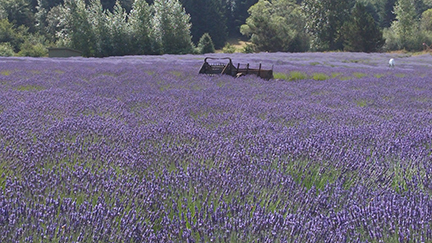
We also visited a fantastic lavender farm on the island. They were busy getting ready for a weekend festival. Everything was adorned with lavender ribbons. Beautiful!

LavenderOne of the things that surprised me was how differently each of the dozens of lavenders smelled. Amazing distinctions between them all.

We had a great visit to the island.

duh

One of the things Rich and I do while we’re traveling is ask each other, “Would you live here?”

We don’t ask if we ‘could’ live here, because, honestly people could live darn near anywhere. But the real question is ‘would’ you live there.

Today when he asked me that question, my answer was, “Duh!”

Shade Hiking

Oak Harbor, WA

Nike has a commercial about shade running that perfectly describes how I like most to run–somewhere there is absolutely no sunshine!

Anyone who knows me very well knows how much I abhor sunshine.

Today, I found the perfect trail to run on. It has so little sunshine that there’s no need to wear sunscreen or sunglasses.

passlake

Rich and I explored Deception Pass State Park. It’s on Whidbey Island and has miles of trails and great scenic views.

The trails we went on were softened with inches of pine needles and well shaded with century old pine and for trees.

Perfect!

The park has over 4000 acres and 40 miles of trails. Next time we come here we will stay in the park so I can run until my heart’s content.

images (4)

A bit of history: From 1924 to 1935, the water route from Whidbey Island to Fidalgo Island was run by Berte H. Olson (1882-1959), and her husband, O.A. Olson, who held a state highway contract. Berte Olson was the first woman to hold a ferry captain’s license in Washington state. The residents of Whidbey Island wanted a bridge put in, but Berte fought it for years. She even convinced the governor to veto a unanimously passed bill to build the bridge. The fee for car and driver was 50 cents, with 10 cents additional for every extra passenger, with “extra large” cars paying 75 cents.  Berte eventually lost her fight and went out of business once the bridge was completed. 

Surprising Chill

Seattle, WA

We are in Seattle visiting our son, Rich, for a few days. We used to call him Little Richie. But as you can see he’s no longer little… 0714141446aRich took us on a drive to Mount Baker-Snoqualmie National Forest. I’m always a sucker for a drive in the mountains.

We ended up at Big Four Mountain and took a hike to the Big Four Ice Caves. According to a woman we met on the hike, the mountain is called Big Four because the snow melts in such a way each spring to expose a very large “4”.

0714141415_20140715130433904_20140715130551435

The ice caves are snow melt outlet openings at the base of permanent snowfields created by winter and spring avalanches. (Picture below was harvested from the Internet.)

Ice_Caves_WA

As we approached the caves, the temperature kept dropping. During today’s hot temperature it felt devine!

0714141411a

Waterfalls drop into the tops of the caves, and their water flows out the bottom in streams. These actions and the temperature changes create a chilling mist that flows out the bottom of the caves.

You can walk into the caves. They are melting, so “rain” falls from the ceiling. It is surprising how chilled we got in just a few minutes of wandering around the caves’ openings.

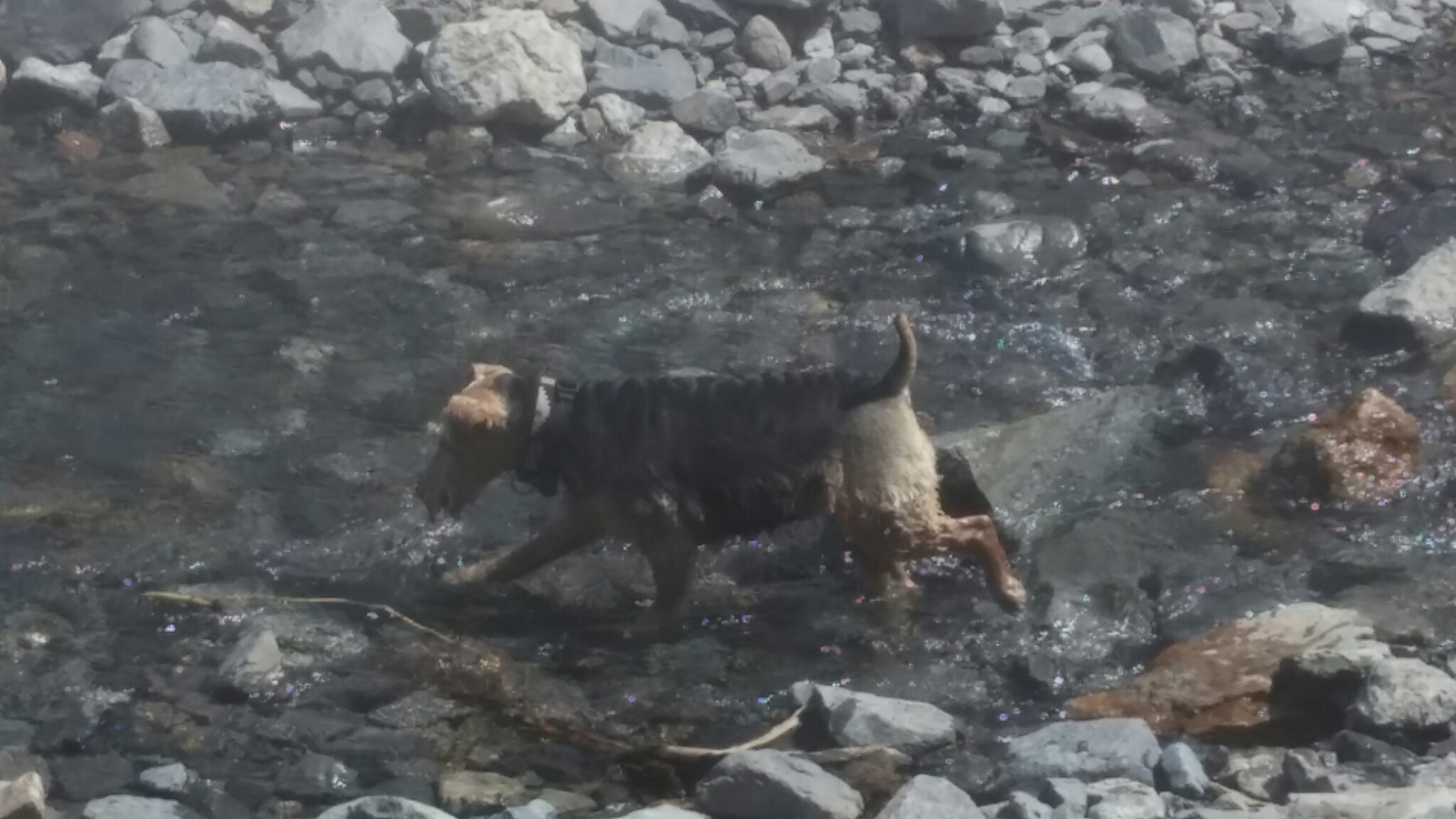
Sophie loved walking in the chilled water too cool off because it was hot.

0714141416b